Line © OpenStreetMap contributors (ODbL), checked by Global Adventurer.
The hike
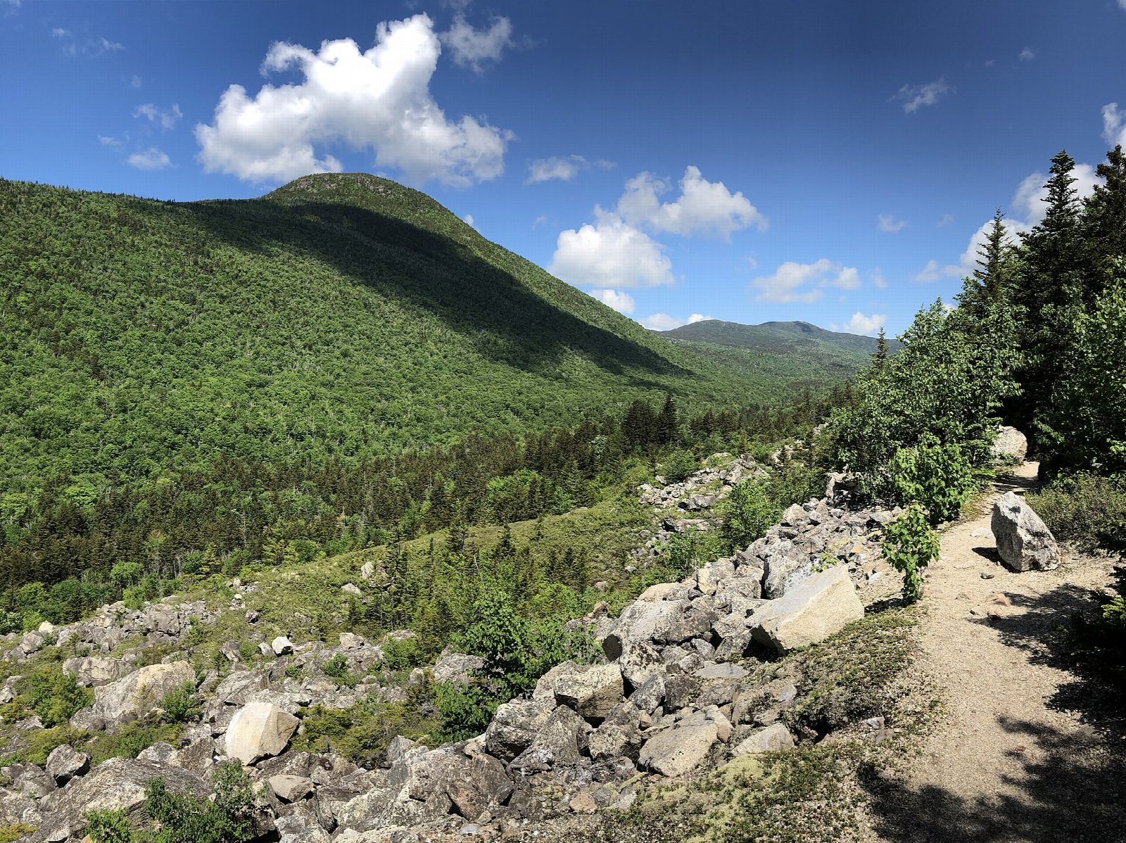
The walk starts at the Zealand Trailhead, at the end of Zealand Road (Forest Road 16), south of US 302. The Zealand Trail follows an old railroad grade up the valley: rough and rooty at first, then easy, past beaver ponds and over boardwalks beside the Zealand River. It passes the A-Z Trail on the left and comes to Zealand Pond. Where the Zealand Trail ends, turn right on the Twinway, which climbs steeply for the last few minutes to the hut beside Zealand Falls. Return the same way.
It is 5.4 miles (8.7 km) round trip with 570 feet (174 m) of climbing; allow about 2½ hours. The grade is Easy: nearly level, with one short, steep pull at the end.
The hut stands at 2,640 feet and looks down Zealand Notch. In 2026 it is fully staffed from June 4 to October 17, and self-service from October 21. Day visitors can refill water and buy snacks and hot drinks between 10 and 5. The boardwalks are slippery when wet or frosty.
Zealand Road is closed to cars from about mid-November to mid-May. When it is closed you must walk or ski about 3 miles more up the road to reach the trailhead. You need a White Mountain National Forest recreation pass to park: buy a day pass at the self-serve station, or use an annual pass.
Route drawn by Global Adventurer along OpenStreetMap paths (© OpenStreetMap contributors, ODbL), with figures worked out from it. Check the forecast and the ground on the day: paths change.
Good to know
- Past beaver ponds and over boardwalks to Zealand Pond
- The AMC hut stands beside Zealand Falls, looking down Zealand Notch
- Zealand Road is closed to cars in winter and spring
Getting there
Start: Zealand Trail parking, end of Zealand Road. 44.22485, -71.47839
Places to stay nearby
Rooms in and around Zealand Trail parking: Booking.com → Expedia →
Affiliate links: if you book, Global Adventurer earns a small commission at no cost to you.
Paths change, and the weather decides the day. The line and figures come from OpenStreetMap and our own checks; take a map, check the forecast, and turn back if it isn't right.