Line © OpenStreetMap contributors (ODbL), checked by Global Adventurer.
The hike
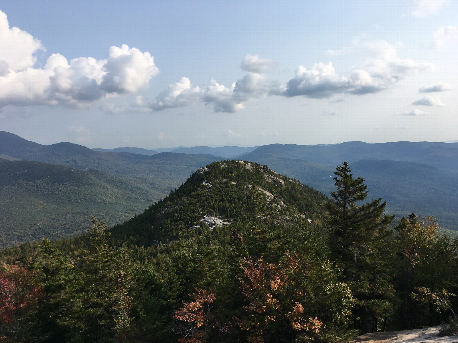
The walk starts at the Welch-Dickey Trailhead on Orris Road, near Waterville Valley. Most people go counter-clockwise and climb Welch first: take the right fork just beyond the car park. The trail climbs through hardwood forest to a first broad ledge, then goes steeply up bare slabs, following cairns and paint blazes, to the top of Welch Mountain. It drops into a small notch, climbs again to the higher summit of Dickey Mountain, and comes down a long ridge of open ledges and then through woods to the start.
It is 4.0 miles (6.5 km) around with 1,660 feet (507 m) of climbing; allow about 3½ hours. The grade is Moderate: short, but steep in places, with some easy scrambling on the slabs.
The ledges are hard going when wet and dangerous when icy, so wear shoes that grip and save this walk for a dry day. The Forest Service asks walkers to stay on the marked trail at all times: the plants on the ledges are sub-alpine and easily killed by trampling.
You need a White Mountain National Forest recreation pass to park: buy a day pass at the self-serve station at the trailhead, or use an annual pass. There are vault toilets but no drinking water. The car park is large but fills on fine weekends.
Route drawn by Global Adventurer along OpenStreetMap paths (© OpenStreetMap contributors, ODbL), with figures worked out from it. Check the forecast and the ground on the day: paths change.
Good to know
- Long stretches of open granite ledge with views over the Mad River valley
- The ledges are steep and slippery when wet or icy
- Parking needs a White Mountain National Forest recreation pass
Summits on the way
- Welch Mountain 2,605 ft (794 m)
- Dickey Mountain 2,733 ft (833 m)
Getting there
Start: Welch-Dickey Trailhead · Parking fee. 43.90448, -71.58865
Places to stay nearby
Rooms in and around White Mountains: Booking.com → Expedia →
Affiliate links: if you book, Global Adventurer earns a small commission at no cost to you.
Paths change, and the weather decides the day. The line and figures come from OpenStreetMap and our own checks; take a map, check the forecast, and turn back if it isn't right.
