Line © OpenStreetMap contributors (ODbL), checked by Global Adventurer.
The hike
The walk starts at the Crawford Path hiker parking on Mount Clinton Road, just off US 302 near the AMC Highland Center. The Crawford Connector leads in 0.4 miles to the Crawford Path, where a short spur goes to Gibbs Falls. It climbs steadily beside Gibbs Brook. At 1.9 miles the Mizpah Cutoff leaves on the right; keep left on the Crawford Path, which comes out of the trees just below the top. Turn right on the Webster Cliff Trail over the summit of Mount Pierce and follow it down to Mizpah Spring Hut. From the hut take the Mizpah Cutoff back to the Crawford Path and go down the way you came.
It is 6.2 miles (9.9 km) around with 2,430 feet (741 m) of climbing; allow about 5 hours. The grade is Moderate: a steady climb on a rocky path.
The summit and the last stretch of the Crawford Path are above the trees and open to the weather: do not go up in storm, ice or high wind. The hut is staffed from June 4 to October 17 in 2026, when walkers can buy snacks and refill water. It cannot be used as an emergency shelter in winter.
You need a White Mountain National Forest recreation pass to park: buy a day pass at the self-serve station, or use an annual pass.
Route drawn by Global Adventurer along OpenStreetMap paths (© OpenStreetMap contributors, ODbL), with figures worked out from it. Check the forecast and the ground on the day: paths change.
Good to know
- The Crawford Path, cut in 1819, is the oldest continuously used hiking trail in America
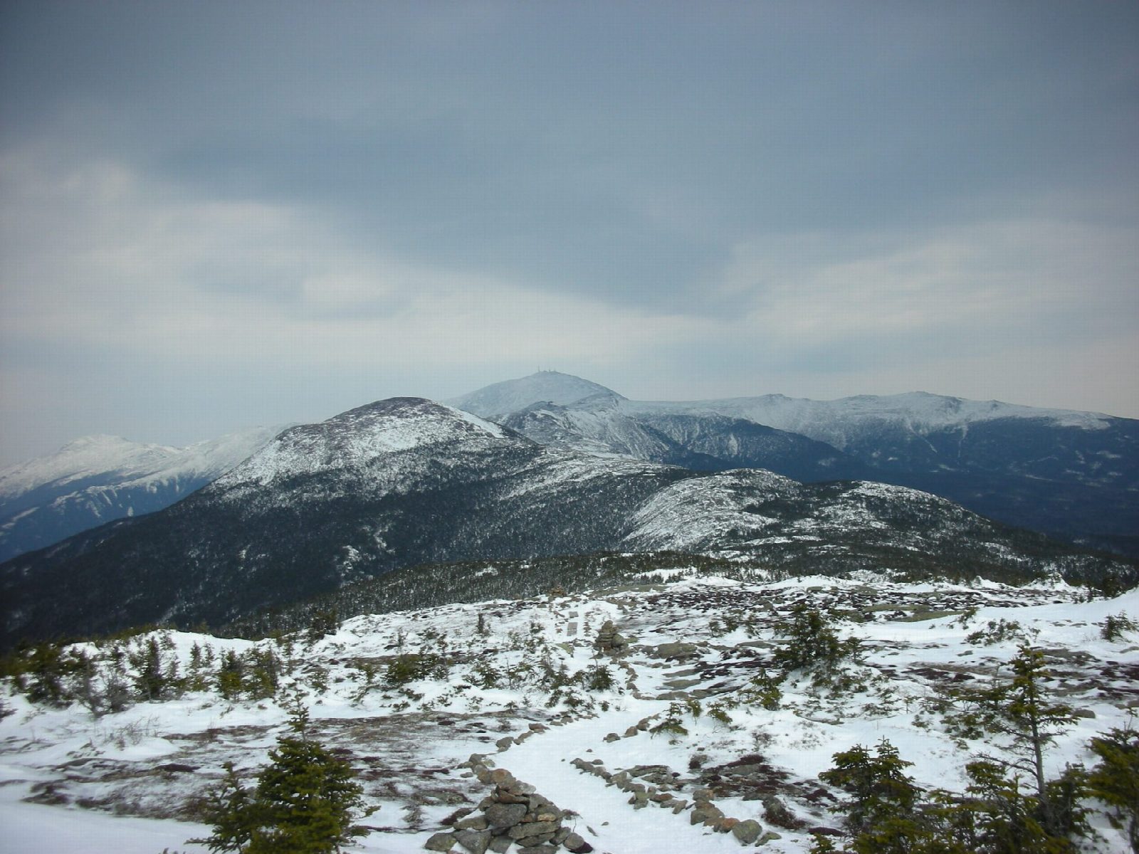
- Mount Pierce looks north along the Presidential Range to Mount Washington
- Down past the AMC's Mizpah Spring Hut
Summits on the way
- Mount Pierce 4,311 ft (1,314 m)
Getting there
Start: Crawford Path trailhead parking, Mount Clinton Road · Parking fee. 44.22356, -71.41151
Places to stay nearby
Rooms in and around Crawford Path trailhead parking: Booking.com → Expedia →
Affiliate links: if you book, Global Adventurer earns a small commission at no cost to you.
Paths change, and the weather decides the day. The line and figures come from OpenStreetMap and our own checks; take a map, check the forecast, and turn back if it isn't right.