Line © OpenStreetMap contributors (ODbL), checked by Global Adventurer.
The hike
The walk starts at the hiker parking on Ravine Lodge Road, by Dartmouth College's Moosilauke Ravine Lodge. From the lodge, go down to the bridge over the Baker River, turn left on the far side, then right onto the Gorge Brook Trail. It climbs beside Gorge Brook, passes the Snapper Trail on the left and crosses the brook on small bridges. Higher up it swings away from the brook and climbs the east side of the mountain in long turns, with views opening behind. It leaves the trees and crosses open ground to the summit. Return the same way.
It is 7.1 miles (11.5 km) round trip with 2,380 feet (726 m) of climbing; allow about 5½ hours. The grade is Moderate: a steady climb on a rocky path, never very steep.
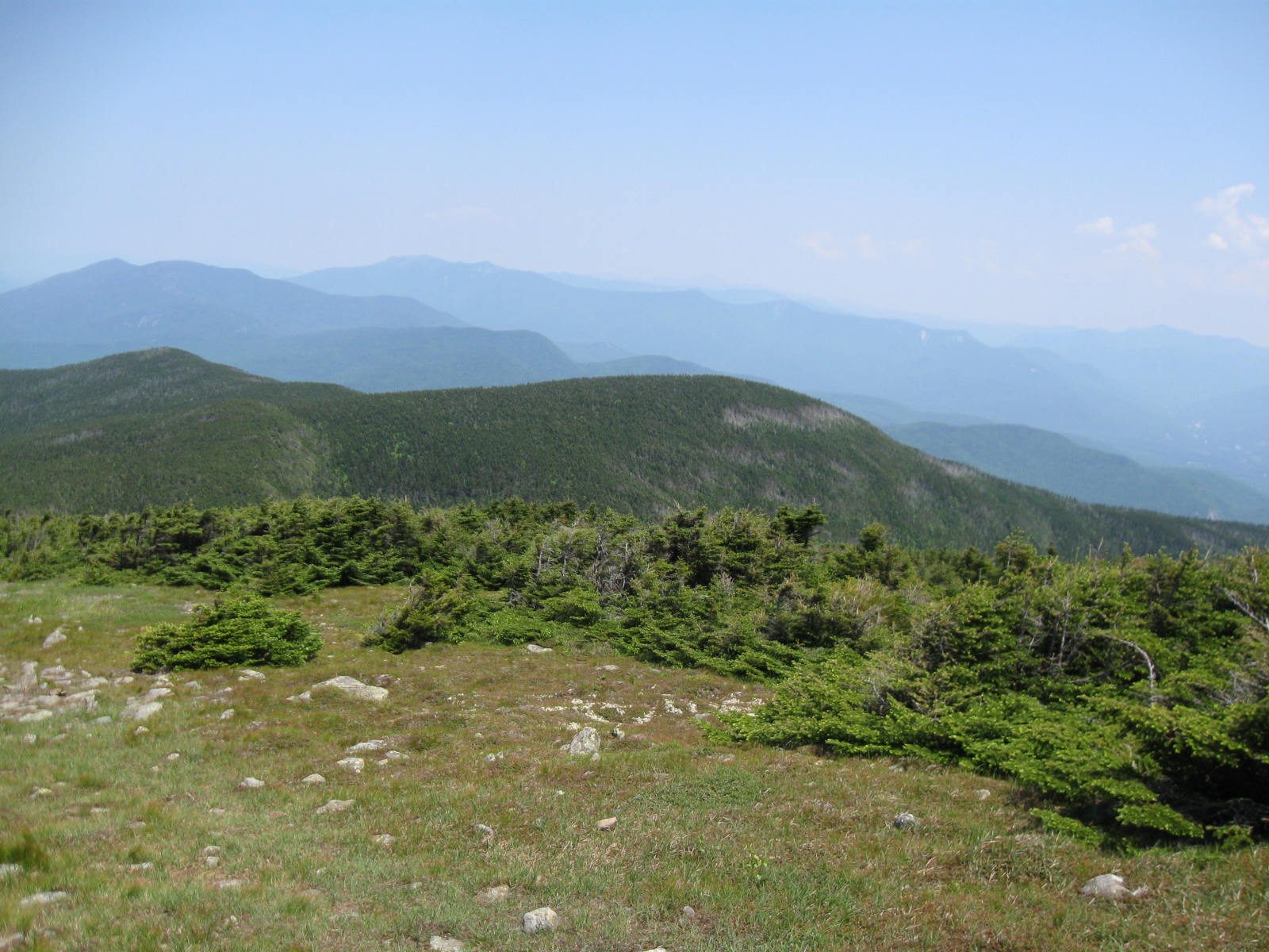
The top is above the trees and open to the wind in every direction, and it is often much colder than the valley. In cloud, follow the cairns carefully. Stay on the path to protect the alpine plants.
The lodge welcomes hikers from May to November and asks them to use the hiker parking area. It has no Wi-Fi, so download your map at home, and its staff are not a rescue service. No fee is posted for parking.
Route drawn by Global Adventurer along OpenStreetMap paths (© OpenStreetMap contributors, ODbL), with figures worked out from it. Check the forecast and the ground on the day: paths change.
Good to know
- Starts at Dartmouth College's Moosilauke Ravine Lodge
- A broad bare summit above the trees, with views across the whole White Mountains
- Exposed to wind on top; the Lodge welcomes hikers from May to November
Summits on the way
- Mount Moosilauke 4,816 ft (1,468 m)
Getting there
Start: Moosilauke Ravine Lodge hiker parking, Ravine Lodge Road. 43.99305, -71.81554
Places to stay nearby
Rooms in and around Moosilauke Ravine Lodge hiker parking: Booking.com → Expedia →
Affiliate links: if you book, Global Adventurer earns a small commission at no cost to you.
Paths change, and the weather decides the day. The line and figures come from OpenStreetMap and our own checks; take a map, check the forecast, and turn back if it isn't right.
