Line © OpenStreetMap contributors (ODbL), checked by Global Adventurer.
The hike
The walk starts at the Champney Falls Trailhead on the Kancamagus Highway (Route 112), 10 miles west of Route 16. The Champney Falls Trail crosses Twin Brook on a footbridge and follows an old logging road up Champney Brook at an easy grade. At 1.4 miles a loop on the left visits Champney Falls and Pitcher Falls and rejoins the trail above; our line keeps to the main trail. The climb then steepens into switchbacks, passes the Middle Sister cutoff and reaches a saddle, where the trail ends at the Piper Trail. Turn right and follow the yellow blazes over open ledges for the last 0.6 miles to the summit. Return the same way.
It is 7.1 miles (11.4 km) round trip with 2,140 feet (651 m) of climbing; allow about 5 hours. The grade is Moderate: a long, steady climb with a steep, rocky finish.
The ledges around the falls are very slippery and there have been many serious accidents there. The falls are at their best in wet weather. The summit cone is bare rock, open to wind and lightning: keep off it in a storm.
You need a White Mountain National Forest recreation pass to park: buy a day pass at the self-serve station at the trailhead, or use an annual pass. There are vault toilets but no drinking water.
Route drawn by Global Adventurer along OpenStreetMap paths (© OpenStreetMap contributors, ODbL), with figures worked out from it. Check the forecast and the ground on the day: paths change.
Good to know
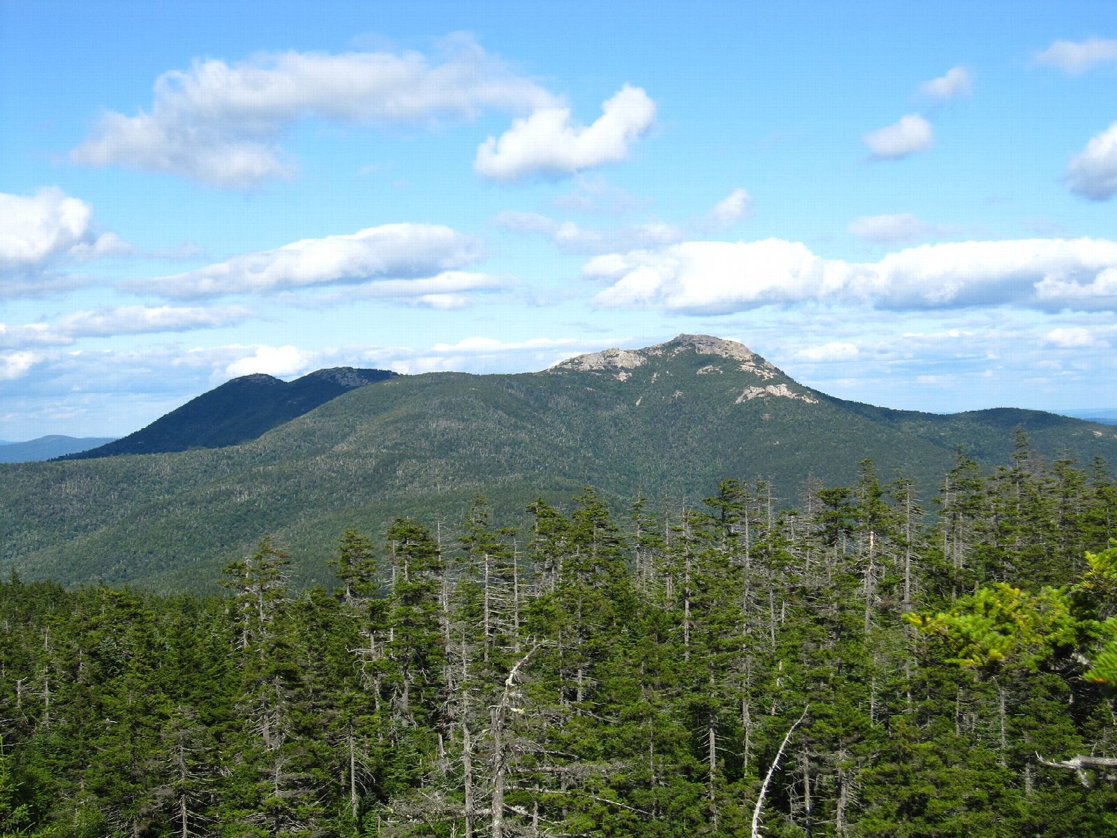
- A bare granite summit cone, one of the most recognizable peaks in New England
- Champney Falls and Pitcher Falls are on a short side loop
- Parking needs a forest recreation pass; the summit rocks are exposed to wind
Summits on the way
- Mount Chocorua 3,478 ft (1,060 m)
Getting there
Start: Champney Falls Trailhead, Kancamagus Highway. 43.99003, -71.29945
Places to stay nearby
Rooms in and around Champney Falls Trailhead: Booking.com → Expedia →
Affiliate links: if you book, Global Adventurer earns a small commission at no cost to you.
Paths change, and the weather decides the day. The line and figures come from OpenStreetMap and our own checks; take a map, check the forecast, and turn back if it isn't right.

