Line © OpenStreetMap contributors (ODbL), checked by Global Adventurer.
The hike
The walk starts at the Lonesome Lake trailhead parking at Lafayette Place Campground, on the Franconia Notch Parkway. The Lonesome Lake Trail crosses the Pemigewasset River on a footbridge, goes through the campground and climbs the side of the notch in long switchbacks through the forest. The Hi-Cannon Trail leaves on the right early on; keep left. After about 1.2 miles the trail reaches the east shore of the lake. Turn left on the Cascade Brook Trail along the shore, then right on the Fishin' Jimmy Trail across the outlet to the AMC's Lonesome Lake Hut. Return the same way.
It is 3.0 miles (4.9 km) round trip with 960 feet (294 m) of climbing; allow about 2 hours. The grade is Easy: a steady climb on a rocky path, then level walking by the lake.
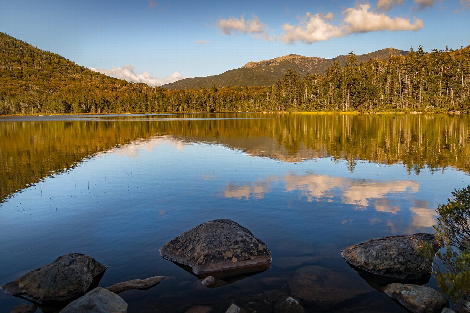
The hut stands at 2,730 feet and looks across the lake to Franconia Ridge. In 2026 it is fully staffed from June 4 to October 17, and self-service from October 21. Day visitors can refill water, use the toilets and buy snacks between 10 and 5. The path by the lake is boggy, with stretches of boardwalk.
The walk is in Franconia Notch State Park. The car parks at Lafayette Place fill early on fine weekends and parking on the Parkway itself is not allowed, so come early or on a weekday.
Route drawn by Global Adventurer along OpenStreetMap paths (© OpenStreetMap contributors, ODbL), with figures worked out from it. Check the forecast and the ground on the day: paths change.
Good to know
- A mountain lake with Franconia Ridge rising across the water
- The AMC's Lonesome Lake Hut stands at the far end
- In Franconia Notch State Park; the car park fills on fine weekends
Getting there
Start: Lafayette Place Campground (Lonesome Lake Trail). 44.14194, -71.68401
Places to stay nearby
Rooms in and around White Mountains: Booking.com → Expedia →
Affiliate links: if you book, Global Adventurer earns a small commission at no cost to you.
Paths change, and the weather decides the day. The line and figures come from OpenStreetMap and our own checks; take a map, check the forecast, and turn back if it isn't right.