Line © OpenStreetMap contributors (ODbL), checked by Global Adventurer.
The hike
The walk starts at the Arethusa Falls trailhead parking, up a short access road off US 302 half a mile south of Dry River Campground. The Arethusa Falls Trail climbs above Bemis Brook: the first stretch is rocky and fairly steep, the rest easier through open hardwoods. A spur drops to the foot of the falls. Climb back to the junction and take the Arethusa-Ripley Falls Trail across the slope to the Frankenstein Cliff Trail. Turn right along it to the outlook on top of the cliff, then go down steeply below the cliffs and under the railroad trestle to the car park.
It is 4.5 miles (7.2 km) around with 1,570 feet (479 m) of climbing; allow about 3½ hours. The grade is Moderate: steep, rooty and rough in places, most of all on the way down.
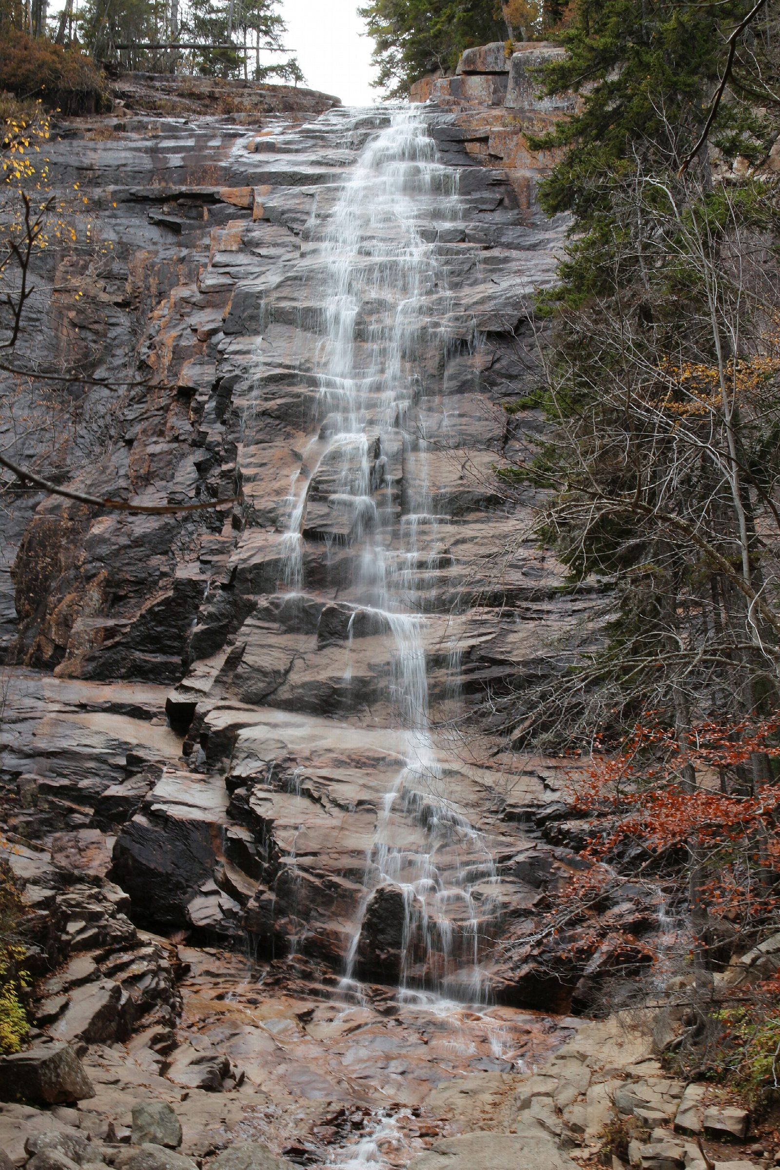
Arethusa Falls are nearly 200 feet high. The Frankenstein Cliff Trail passes under ledges that build up great amounts of ice, and the state park warns that falling ice there can injure or kill. Do not walk that side in winter or during the spring thaw; go to the falls and back instead.
The walk is in Crawford Notch State Park, where leashed dogs are allowed. The car park is small and fills early on summer and autumn weekends. The rocks at the foot of the falls are slippery.
Route drawn by Global Adventurer along OpenStreetMap paths (© OpenStreetMap contributors, ODbL), with figures worked out from it. Check the forecast and the ground on the day: paths change.
Good to know
- Arethusa Falls is among the tallest waterfalls in New Hampshire
- Frankenstein Cliff looks down over Crawford Notch and its railroad trestle
- In Crawford Notch State Park; steep, rooty and slippery when wet
Getting there
Start: Arethusa Falls trailhead parking, Crawford Notch · Parking fee. 44.14792, -71.36938
Places to stay nearby
Rooms in and around Arethusa Falls trailhead parking: Booking.com → Expedia →
Affiliate links: if you book, Global Adventurer earns a small commission at no cost to you.
Paths change, and the weather decides the day. The line and figures come from OpenStreetMap and our own checks; take a map, check the forecast, and turn back if it isn't right.
