Line © OpenStreetMap contributors (ODbL), checked by Global Adventurer.
The walk
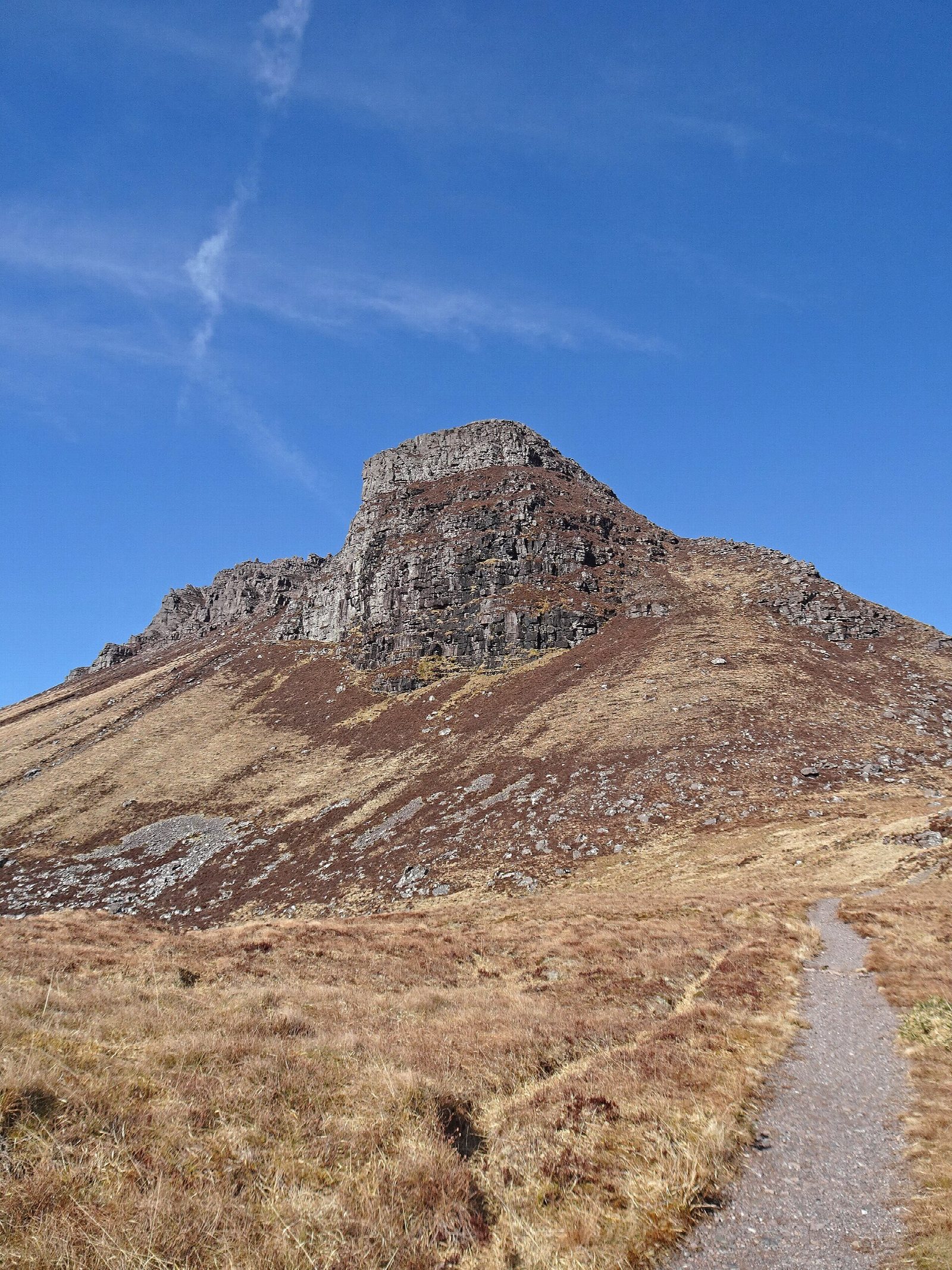
The walk starts from the Stac Pollaidh car park beside Loch Lurgainn, on the single-track road to Achiltibuie. A pitched path climbs the south slope and round the east end of the hill to its north side. From there a steep path climbs to the bealach on the ridge, with the pinnacles on either side and views over Coigach and Assynt. The route returns to the circuit path, continues round the west end of the hill on a rougher, boggier path and drops back to the car park.
It is 4.1 km with 453 m of ascent; allow about 3 hours. The grade is Hard: short, but steep and rough, with eroded ground on the climb to the ridge.
The walk stops at the ridge. The true summit, at the western end, needs rock climbing skills, and the crest between is exposed. The views from the bealach take in the lochs and hills of Coigach and Assynt. Keep to the pitched path to help repair the badly eroded hillside.
The car park charges, and has toilets. There is no station nearby.
Route drawn by Global Adventurer along OpenStreetMap paths (© OpenStreetMap contributors, ODbL), with figures worked out from it. Check the forecast and the ground on the day: paths change.
Good to know
- Stac Pollaidh is a small sandstone peak with a crest of pinnacles
- The true western summit needs rock climbing skills; this walk stops at the ridge
Summits on the way
- Stac Pollaidh (East Summit) · passed close by
Getting there
Start: Stac Pollaidh car park · Pay and display. 58.03455, -5.20656
Places to stay nearby
Rooms in and around Wester Ross: Booking.com → Expedia →
Affiliate links: if you book, Global Adventurer earns a small commission at no cost to you.
Paths change, and the weather decides the day. The line and figures come from OpenStreetMap and our own checks; take a map, check the forecast, and turn back if it isn't right.