Line © OpenStreetMap contributors (ODbL), checked by Global Adventurer.
The walk
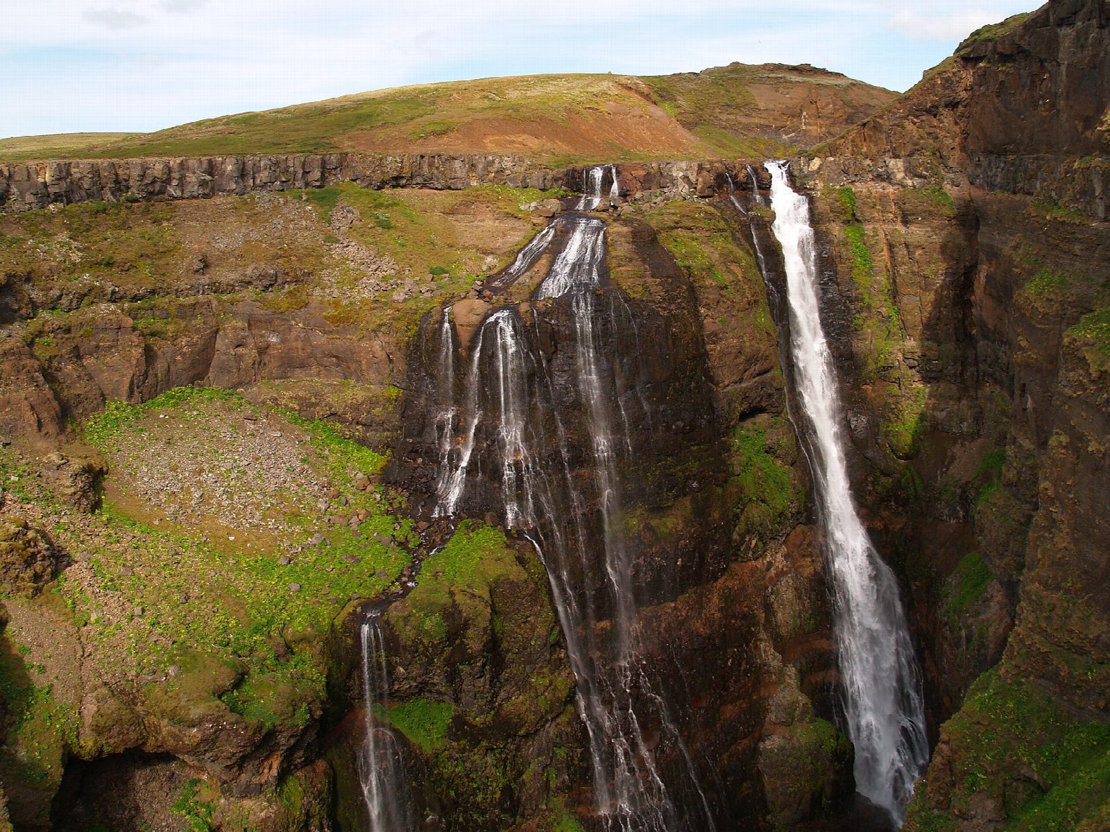
From the car park at the end of the Botnsdalur road, take the path that climbs north-east up the west side of the Botnsá canyon. Marked with poles, it rises steeply along the edge of the gorge to a guidepost near the top of Glymur, where the river drops about 198 m. Return the same way. This is not the well-known loop, which goes up the east side of the canyon and comes back down this path.
It is 6.2 km there and back with 296 m of ascent; allow about 2½ hours. The grade is Moderate: a steep path along unfenced canyon edges, muddy and slippery when wet.
The loop up the east side needs the summer log over the Botnsá, in place roughly from June to late September, and a cold wade across the river above the fall. This walk needs neither: it has no river crossing and no fixed ropes, so it can be done when the log is out. The drops beside the path are big and unfenced, so keep well back from the edge. From October to May expect ice and mud.
The car park at the end of the road is free. There is no public transport. Drive Route 47 round Hvalfjörður, about an hour from Reykjavík, then the gravel Botnsdalur road for about 3 km to its end.
Route drawn by Global Adventurer along OpenStreetMap paths (© OpenStreetMap contributors, ODbL), with figures worked out from it. Check the forecast and the ground on the day: paths change.
Good to know
- Glymur drops about 198 m from the Botnsá river, which drains the deep lake Hvalvatn
- It was long called Iceland's highest waterfall; most lists now put it second
- This walk climbs the west side of the canyon and returns the same way, with no river crossing
- Botnsdalur lies at the head of Hvalfjörður, about an hour's drive from Reykjavík
Getting there
Start: Glymur car park, Botnsdalur. 64.38532, -21.29437
Places to stay nearby
Rooms in and around Glymur car park: Booking.com → Expedia →
Affiliate links: if you book, Global Adventurer earns a small commission at no cost to you.
Paths change, and the weather decides the day. The line and figures come from OpenStreetMap and our own checks; take a map, check the forecast, and turn back if it isn't right.