Line © OpenStreetMap contributors (ODbL), checked by Global Adventurer.
The walk
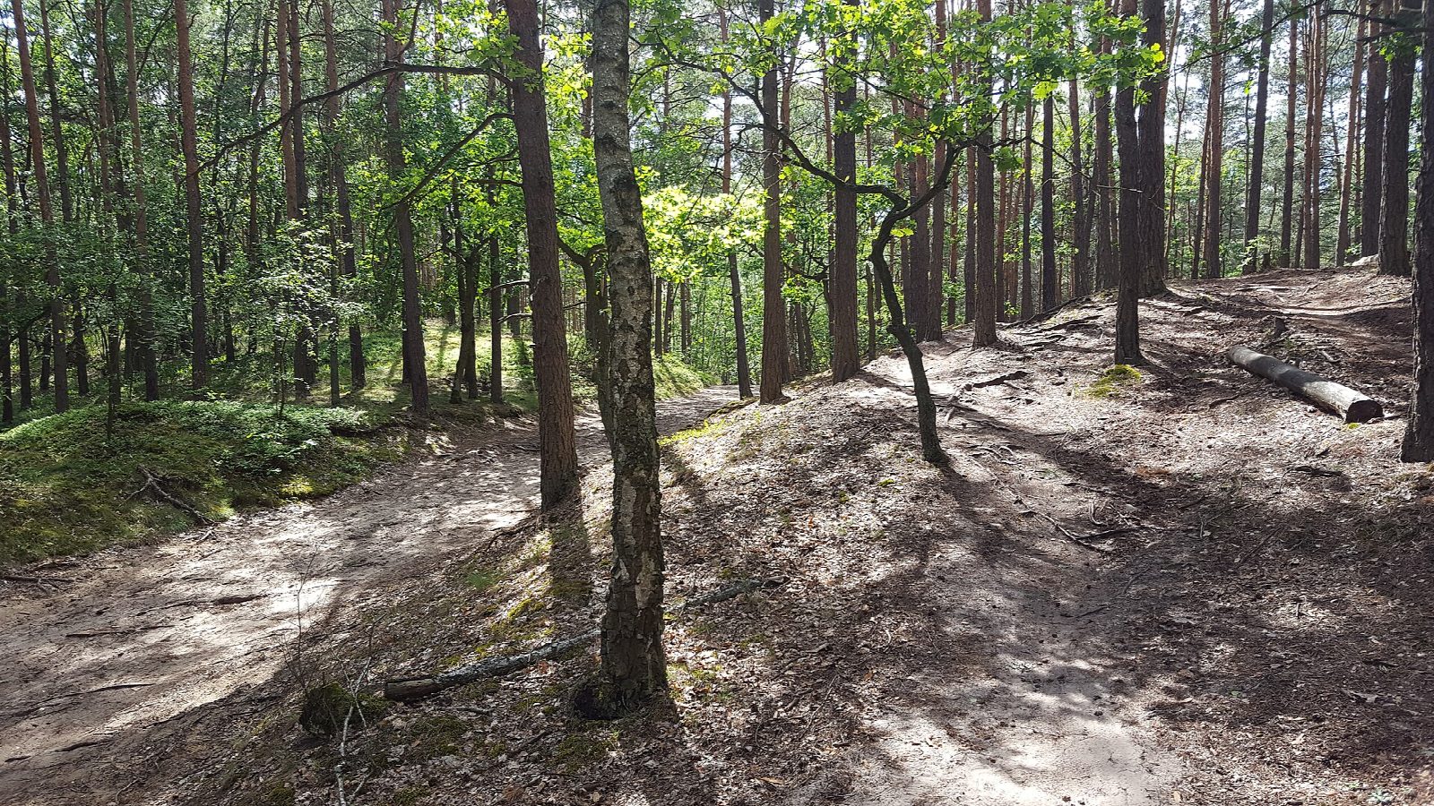
From the national park's free car park at the edge of Truskaw, take the green nature path north-west through pine woods and over low, wooded sand dunes to the Karczmisko clearing, with its shelter. Come back by the green path south-west through the forest, then turn east on the yellow path through the pines back to Truskaw.
It is 9.6 km with 11 m of ascent; allow about 2½ hours. The grade is Easy: level sandy tracks and paths all the way.
Entry to the Kampinos National Park is free. Walking is allowed only from sunrise to sunset, and dogs are not allowed on these paths. The park posts a fire-danger level twice a day. Some paths are soft, deep sand. Cyclists may use the paths, but walkers have priority.
The car park at Truskaw is free, with 70 places; the park's car parks at Roztoka and Granica charge. City bus 210 runs from Metro Młociny in Warsaw to Truskaw.
Route drawn by Global Adventurer along OpenStreetMap paths (© OpenStreetMap contributors, ODbL), with figures worked out from it. Check the forecast and the ground on the day: paths change.
Good to know
- Kampinos Forest, a national park on the edge of Warsaw, with inland sand dunes, pine woods and wet hollows
- Out on the green nature path to the Karczmisko clearing, back by the green and yellow paths
- Entry is free; walking is allowed only from sunrise to sunset, and dogs are not allowed on these paths
- City bus 210 runs from Metro Młociny to Truskaw
Summits on the way
- Marcinowa Góra 88 m · passed close by
Getting there
Start: Truskaw forest car park · Free parking. 52.31090, 20.76203
Places to stay nearby
Rooms in and around Warsaw area: Booking.com → Expedia →
Affiliate links: if you book, Global Adventurer earns a small commission at no cost to you.
Paths change, and the weather decides the day. The line and figures come from OpenStreetMap and our own checks; take a map, check the forecast, and turn back if it isn't right.