Line © OpenStreetMap contributors (ODbL), checked by Global Adventurer.
The walk
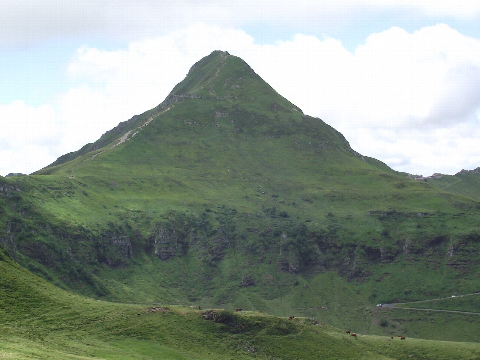
From the car park at the Pas de Peyrol, the highest road pass in the Massif Central, cross the road and climb the stepped path up the north ridge of the Puy Mary to the summit, at 1,783 m. The view takes in the deep valleys that radiate from the old Cantal volcano. From the top, follow the ridge south-east down to the Brèche de Rolland, a gap in the crest, then return the same way over the summit to the pass.
It is 4.2 km there and back with 351 m of ascent; allow about 2½ hours. The grade is Easy: steep stepped paths, and a narrow, rough ridge to the Brèche.
The Puy Mary is a Grand Site de France, and the paths are stepped to stop erosion: keep to them. The ridge is narrow and exposed in places, and the summit is often windy and cold, with snow from late autumn. The road over the Pas de Peyrol is closed in winter.
The pay car park at the Pas de Peyrol is run by the Syndicat Mixte du Puy Mary; it costs about 5 euros a car in season.
Route drawn by Global Adventurer along OpenStreetMap paths (© OpenStreetMap contributors, ODbL), with figures worked out from it. Check the forecast and the ground on the day: paths change.
Good to know
- The Puy Mary, 1,783 m, rises from the rim of the great Cantal volcano, the largest in Europe
- A stepped path climbs from the Pas de Peyrol, the highest road pass in the Massif Central, to the summit, then follows the ridge down to the Brèche de Rolland
- The Puy Mary is a Grand Site de France
Summits on the way
- Puy Mary 1,783 m
Getting there
Start: Pas de Peyrol car park. 45.11552, 2.66997
Places to stay nearby
Rooms in and around Le Lioran: Booking.com → Expedia →
Affiliate links: if you book, Global Adventurer earns a small commission at no cost to you.
Paths change, and the weather decides the day. The line and figures come from OpenStreetMap and our own checks; take a map, check the forecast, and turn back if it isn't right.