Line © OpenStreetMap contributors (ODbL), checked by Global Adventurer.
The walk
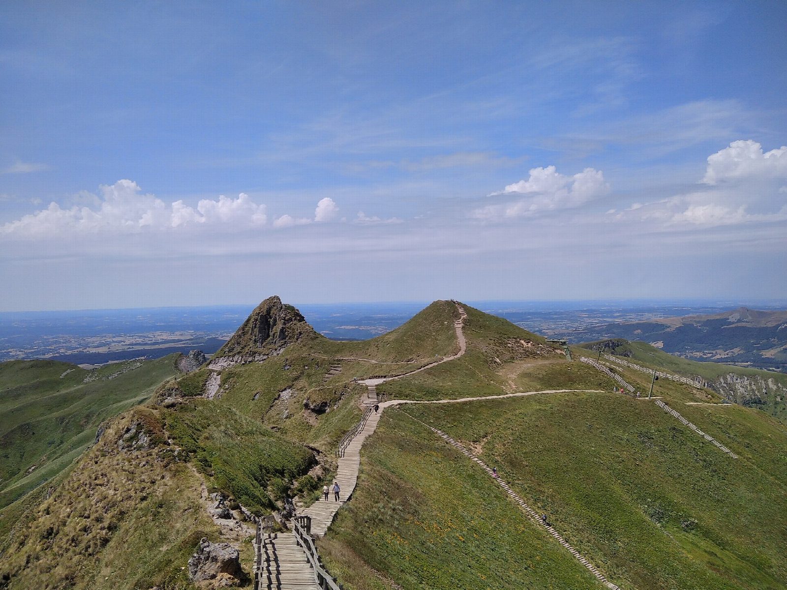
From the car park at the foot of the Sancy cable car above Le Mont-Dore, walk west across the slopes and climb into the Val de Courre, a long grassy valley under the Puy de Cliergue. The path climbs to the head of the valley and onto the ridge, then follows the crest to the summit of the Puy de Sancy, at 1,886 m, the highest point of the Massif Central, reached by boardwalks and steps. Come down the stepped path to the top station of the cable car and take the steep path below it back to the car park.
It is 6.9 km round with 579 m of ascent; allow about 4 hours. The grade is Moderate: mountain paths, boardwalks and long flights of steps, steep on the way down.
The summit ridge is exposed to wind and fog and holds snow from late autumn to spring, when the walk becomes a winter mountain outing. Keep to the paths and boardwalks, which protect fragile ground. The cable car offers an easy way down when it is running.
The car park is at the end of the road from Le Mont-Dore to the foot of the Sancy.
Route drawn by Global Adventurer along OpenStreetMap paths (© OpenStreetMap contributors, ODbL), with figures worked out from it. Check the forecast and the ground on the day: paths change.
Good to know
- The Puy de Sancy, 1,886 m, is the highest summit in the Massif Central
- The loop climbs the Val de Courre, reaches the summit by the boardwalks and steps, and comes down past the top of the cable car
Summits on the way
- Puy Redon 1,781 m · passed close by
- Puy de Sancy 1,885 m
Getting there
Start: Pied du Sancy car park. 45.54679, 2.81620
Places to stay nearby
Rooms in and around Vosges, Jura and Auvergne: Booking.com → Expedia →
Affiliate links: if you book, Global Adventurer earns a small commission at no cost to you.
Paths change, and the weather decides the day. The line and figures come from OpenStreetMap and our own checks; take a map, check the forecast, and turn back if it isn't right.