Line © OpenStreetMap contributors (ODbL), checked by Global Adventurer.
The walk
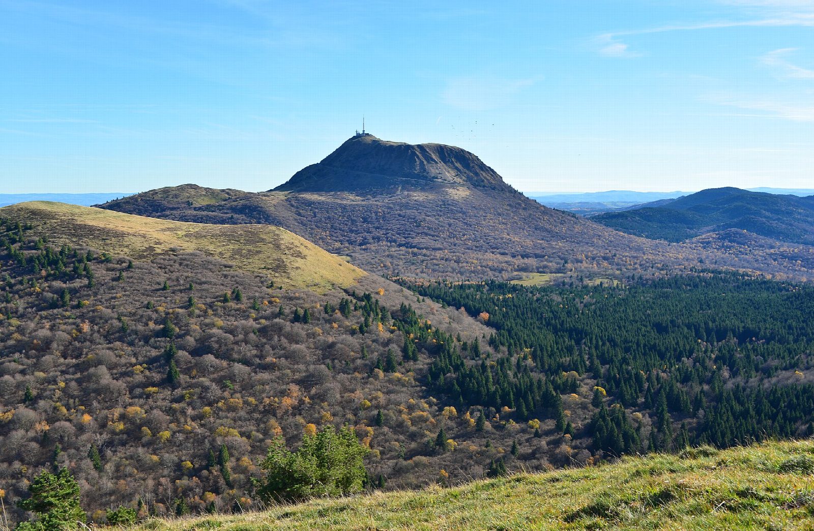
From the car park at the Col de Ceyssat, the Chemin des Muletiers climbs through beech woods and then zigzags up the open south-west flank of the Puy de Dôme. It comes out on the summit, at 1,465 m, by the ruins of the Roman temple of Mercury, the observatory and the mast, with the line of the Chaîne des Puys volcanoes stretching north and south and Clermont-Ferrand below to the east. Return the same way.
It is 4.9 km there and back with 365 m of ascent; allow about 2½ hours. The grade is Easy: a steep, steady climb on a well-made path with steps.
The Chaîne des Puys is part of a UNESCO World Heritage Site. The summit is exposed and often windy and cold, with fog and snow in winter, so take a warm layer. Keep to the path to protect the slopes from erosion.
The free car park at the Col de Ceyssat is on the road west of Clermont-Ferrand. The Panoramique des Dômes rack railway also runs to the summit from its station at the foot of the volcano.
Route drawn by Global Adventurer along OpenStreetMap paths (© OpenStreetMap contributors, ODbL), with figures worked out from it. Check the forecast and the ground on the day: paths change.
Good to know
- The Puy de Dôme, 1,465 m, is the highest of the Chaîne des Puys volcanoes, part of a UNESCO World Heritage Site
- The Chemin des Muletiers is the old mule track, climbing the south-west side in zigzags
- The ruins of a Roman temple of Mercury stand on the summit, beside the observatory and the mast
- The Panoramique des Dômes rack railway also runs to the summit
Summits on the way
- Puy de Dôme 1,464 m · passed close by
Getting there
Start: Col de Ceyssat car park. 45.76386, 2.95669
Places to stay nearby
Rooms in and around Vosges, Jura and Auvergne: Booking.com → Expedia →
Affiliate links: if you book, Global Adventurer earns a small commission at no cost to you.
Paths change, and the weather decides the day. The line and figures come from OpenStreetMap and our own checks; take a map, check the forecast, and turn back if it isn't right.