Line © OpenStreetMap contributors (ODbL), checked by Global Adventurer.
The walk
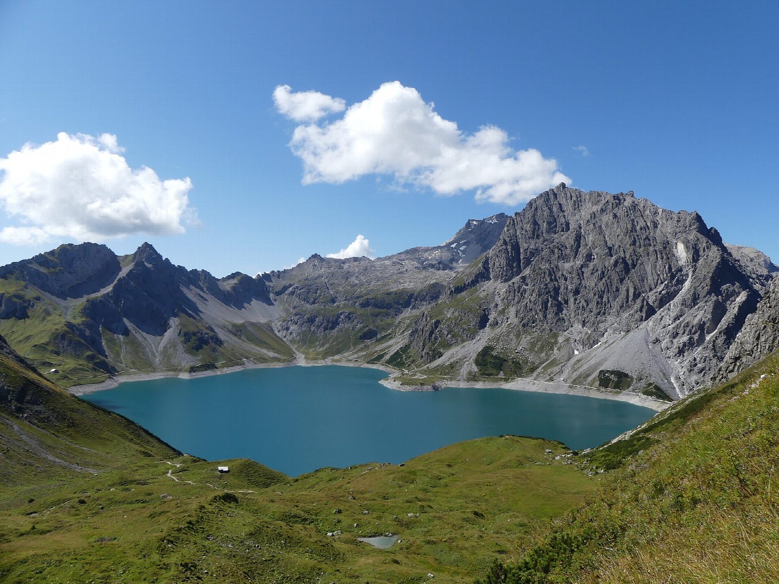
From the top station of the Lünerseebahn, by the dam and the Douglasshütte, the path sets off clockwise along the east shore of the Lünersee, high above the water with the Schesaplana across the lake. At the southern end it passes the Lünersee Alpe, an alp hut serving food in summer, and returns along the wide track of the west shore to the dam.
It is 6.4 km round with 117 m of ascent; allow about 2 hours. The grade is Easy: a good path on the east side and a broad track on the west, with only small ups and downs.
The lake lies at about 1,970 m and was raised by its dam for hydropower. In 2026 the Lünerseebahn runs daily from 23 May to 26 October; out of season the lake can only be reached by a steep path on foot. Snow can come early at this height. Cycling round the lake is not allowed.
The Lünerseebahn's valley station is at the end of the road above Brand, with a car park.
Route drawn by Global Adventurer along OpenStreetMap paths (© OpenStreetMap contributors, ODbL), with figures worked out from it. Check the forecast and the ground on the day: paths change.
Good to know
- A lake at about 1,970 m under the Schesaplana, raised by a dam for hydropower
- The path round it is about 6 km with little climbing; the Douglasshütte stands by the dam and the Lünersee Alpe halfway
- The Lünerseebahn from Brand runs from 23 May to 26 October in 2026
Getting there
Start: Brand, Lünerseebahn top station. 47.05968, 9.75477
Places to stay nearby
Rooms in and around Brand: Booking.com → Expedia →
Affiliate links: if you book, Global Adventurer earns a small commission at no cost to you.
Paths change, and the weather decides the day. The line and figures come from OpenStreetMap and our own checks; take a map, check the forecast, and turn back if it isn't right.