Line © OpenStreetMap contributors (ODbL), checked by Global Adventurer.
The walk
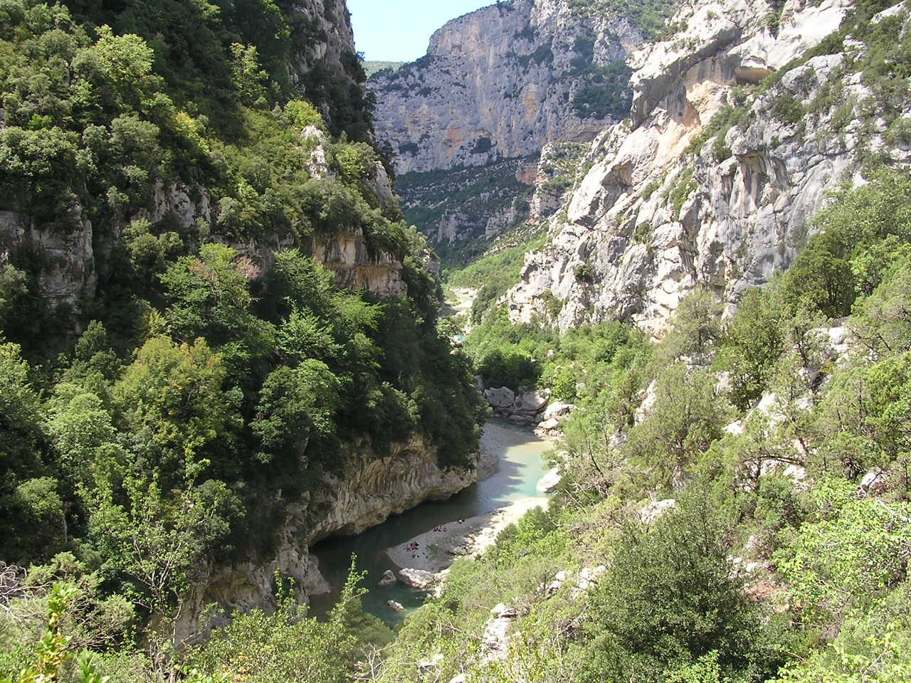
From the Chalet de la Maline, on the Route des Crêtes above La Palud-sur-Verdon, the path zigzags down some 400 m to the river and follows the canyon downstream: past the Pré d'Issane and the scree of Guègues, above the confluence of the Mescla, then down a cleft in the cliff at the Brèche Imbert on about 250 steps of metal stairway with rails. It runs on beside the Verdon, through the Trescaïre tunnel and the 670 m Baou tunnel, then climbs from the Couloir Samson to the Point Sublime.
It is 14.2 km one way with 447 m of ascent and 565 m of descent; allow about 5 hours. The grade is Hard: a long, rough path with narrow ledges, scree, slippery rock, the stairways and the tunnels.
The tourist office calls it difficult, advises against it for children under 8 and anyone prone to vertigo, and asks walkers to go this way round. Take a torch for the often flooded tunnels, and plenty of water. Dogs and bikes are not allowed, and swimming is banned in the canyon: the river can rise fast when the dams upstream release water.
In season a booked shuttle runs from La Palud-sur-Verdon to the Chalet de la Maline in the morning and back from the Point Sublime in the afternoon. Otherwise book a taxi from the Couloir Samson car park.
Route drawn by Global Adventurer along OpenStreetMap paths (© OpenStreetMap contributors, ODbL), with figures worked out from it. Check the forecast and the ground on the day: paths change.
Good to know
- The only path along the bottom of the Gorges du Verdon, one way from the Chalet de la Maline to the Point Sublime
- It is named after Isidore Blanc, a schoolteacher from Rougon, and the caver Édouard-Alfred Martel, the first to go right through the canyon, in 1905
- At the Brèche Imbert about 250 steps of metal stairway with rails take the path down a cleft in the cliff
- The Baou tunnel near the end is 670 m long and often has water in it: a torch is essential
- Dogs and bikes are not allowed, swimming in the Verdon is banned in the canyon, and the river can rise fast when the dams upstream release water
Getting there
Start: Chalet de la Maline car park. 43.74709, 6.34581
Places to stay nearby
Rooms in and around Gévaudan: Booking.com → Expedia →
Affiliate links: if you book, Global Adventurer earns a small commission at no cost to you.
Paths change, and the weather decides the day. The line and figures come from OpenStreetMap and our own checks; take a map, check the forecast, and turn back if it isn't right.