Line © OpenStreetMap contributors (ODbL), checked by Global Adventurer.
The walk
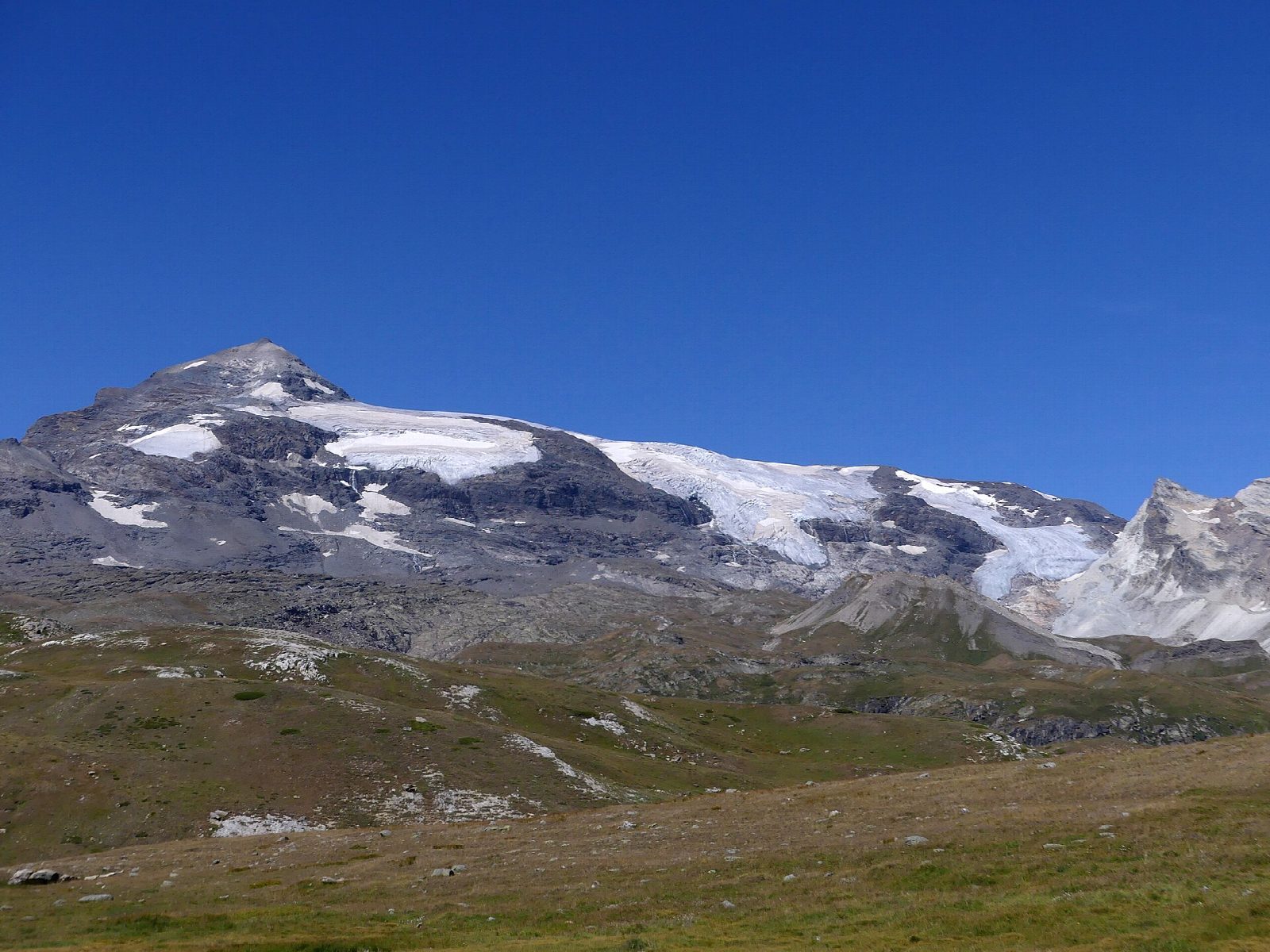
From the Parking de Bellecombe, at about 2,307 m at the end of the road up from Termignon, a path crosses the open grassland of the plateau north to the Refuge du Plan du Lac, beside a small lake at about 2,364 m. Across the valley rise the Dent Parrachée and the glaciers of the Vanoise, and the Grande Casse stands at the head of the view. The path goes on gently down to the Chapelle Saint-Barthélemy, a small mountain chapel lower down the plateau. Return the same way.
It is 6 km there and back with 151 m of ascent; allow about 2 hours. The grade is Easy: a broad, mostly gentle path over high pasture.
The walk is high and open, so cold wind and storms come quickly; carry warm clothes even in summer. It is in the core of the Parc national de la Vanoise: dogs are not allowed, even on a lead, and fires and picking plants are forbidden.
The car park is at the end of the road that climbs from Termignon to Bellecombe; the road is closed in winter, so check it is open before setting out.
Route drawn by Global Adventurer along OpenStreetMap paths (© OpenStreetMap contributors, ODbL), with figures worked out from it. Check the forecast and the ground on the day: paths change.
Good to know
- An easy walk on the high plateau above Termignon, with the Dent Parrachée and the Grande Casse in view
- The Refuge du Plan du Lac stands beside a small lake at about 2,364 m
- The walk is in the core of the Parc national de la Vanoise: dogs are not allowed
Getting there
Start: Parking de Bellecombe. 45.32881, 6.82922
Places to stay nearby
Rooms in and around Vanoise: Booking.com → Expedia →
Affiliate links: if you book, Global Adventurer earns a small commission at no cost to you.
Paths change, and the weather decides the day. The line and figures come from OpenStreetMap and our own checks; take a map, check the forecast, and turn back if it isn't right.