Line © OpenStreetMap contributors (ODbL), checked by Global Adventurer.
The walk
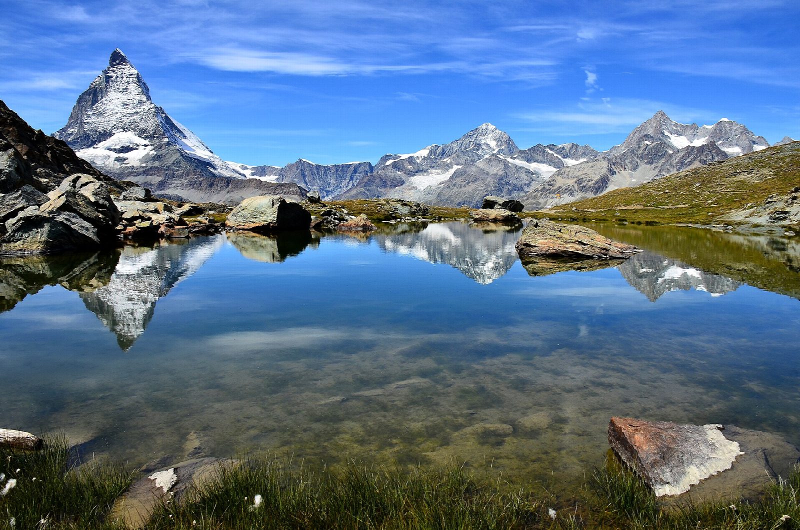
From the top station of the Gornergrat railway, at about 3,090 m, look out over the Gorner Glacier to Monte Rosa and the ring of four-thousanders around Zermatt. The path then winds down the open slope west of the summit to Rotenboden station and on to the Riffelsee, a small lake where the Matterhorn is reflected on a still morning. From the lake it continues down to Riffelberg, with its hotel and station.
It is 4.1 km one way with 41 m of ascent and 545 m of descent; allow about 1½ hours. The grade is Easy: a clear mountain path, steady downhill, at high altitude.
At this height the air is thin and the weather cold even in summer; take warm clothes and sun protection. The path is usually clear of snow from July to October. Outside that season the railway still runs all year, but expect snow and ice on the path. The lake lies in a small nature reserve: keep to the path.
The Gornergrat railway, a rack railway, leaves from opposite Zermatt's main station and stops at Riffelberg and Rotenboden, so you can ride back from either. Zermatt is car-free: park at Täsch and take the shuttle train.
Route drawn by Global Adventurer along OpenStreetMap paths (© OpenStreetMap contributors, ODbL), with figures worked out from it. Check the forecast and the ground on the day: paths change.
Good to know
- Down from the Gornergrat railway's top station at about 3,090 m, looking over the Gorner Glacier to Monte Rosa
- Past the Riffelsee, where the Matterhorn is reflected on a still morning, to Riffelberg
- The rack railway from Zermatt stops at Rotenboden and Riffelberg, so the walk can be cut short or made longer
- A high path where snow lies into early summer: July to October is the usual season
Getting there
Start: Gornergrat station. 45.98324, 7.78219
By train: Riffelberg station is 2.4 km from the start.
Places to stay nearby
Rooms in and around Riffelberg: Booking.com → Expedia →
Affiliate links: if you book, Global Adventurer earns a small commission at no cost to you.
Paths change, and the weather decides the day. The line and figures come from OpenStreetMap and our own checks; take a map, check the forecast, and turn back if it isn't right.