Line © OpenStreetMap contributors (ODbL), checked by Global Adventurer.
The walk
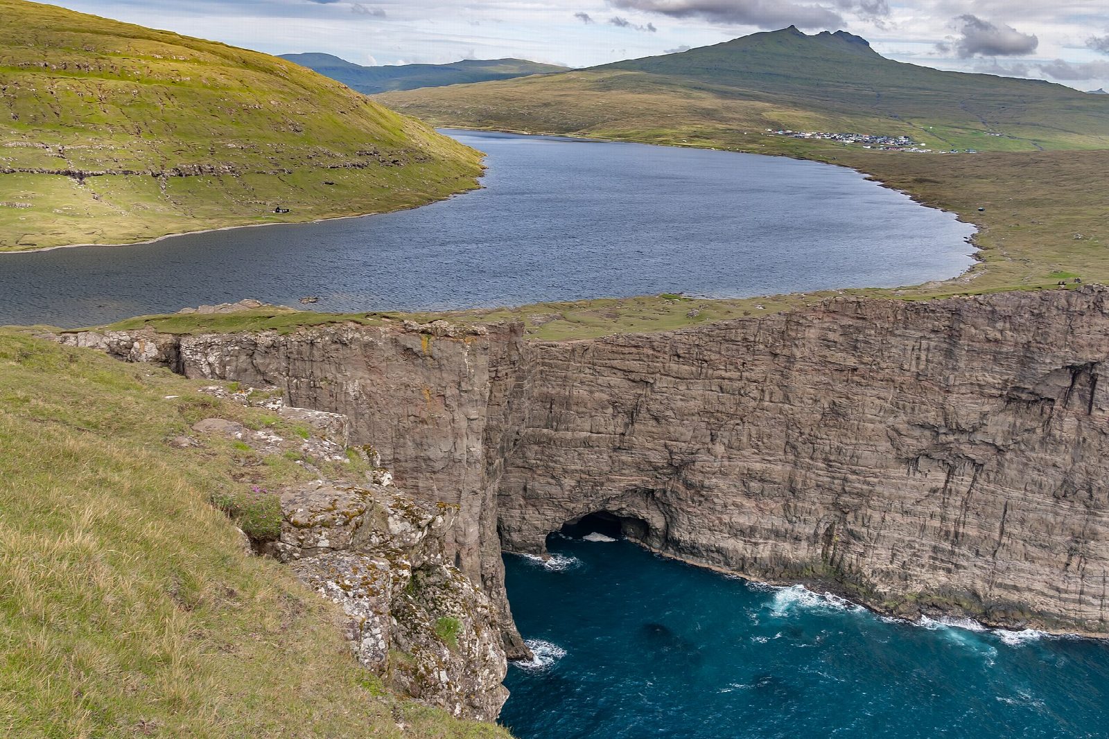
From the car park and coffee shop at the south end of Miðvágur, pay the fee, go through the gate and follow the main path south-west over the moor, inland from the east shore of Sørvágsvatn (Leitisvatn). At the far end climb the steps to the top of Trælanípa (the Slave Cliff), where the lake seems to hang above the ocean. Follow the cliff path west to look over Bøsdalafossur, where the lake pours straight into the sea, and loop back to the junction. Return the same way.
It is 6.8 km round with 147 m of ascent; allow about 2 hours. The grade is Easy: a clear path over the moor, boggy in places, with a short climb by steps to the cliff top.
The landowners charge a hiking fee of DKK 200 for each adult; children under 16 walk free. Pay at the coffee shop before you start. The path along the lake shore is closed to protect nesting birds, so keep to the main path. The cliff edges at Trælanípa and above Bøsdalafossur are sheer and unfenced, and the gusts can be strong.
Parking is free. SSL bus 300, between Tórshavn, Vágar airport and Sørvágur, stops in Miðvágur on every trip, about 45 minutes from Tórshavn; in winter it runs about 10 times on weekdays and 5 at weekends.
Route drawn by Global Adventurer along OpenStreetMap paths (© OpenStreetMap contributors, ODbL), with figures worked out from it. Check the forecast and the ground on the day: paths change.
Good to know
- Trælanípa, the Slave Cliff, rises about 142 m above the sea at the south end of Sørvágsvatn
- From the top the largest lake in the Faroes seems to hang above the ocean
- At Bøsdalafossur the lake pours straight into the sea
- Bus 300 from Tórshavn stops in Miðvágur on every trip
Summits on the way
- Trælanípa 142 m
Getting there
Start: Trælanípan car park, Miðvágur. 62.04231, -7.19969
Places to stay nearby
Rooms in and around Trælanípan car park: Booking.com → Expedia →
Affiliate links: if you book, Global Adventurer earns a small commission at no cost to you.
Paths change, and the weather decides the day. The line and figures come from OpenStreetMap and our own checks; take a map, check the forecast, and turn back if it isn't right.