Line © OpenStreetMap contributors (ODbL), checked by Global Adventurer.
The walk
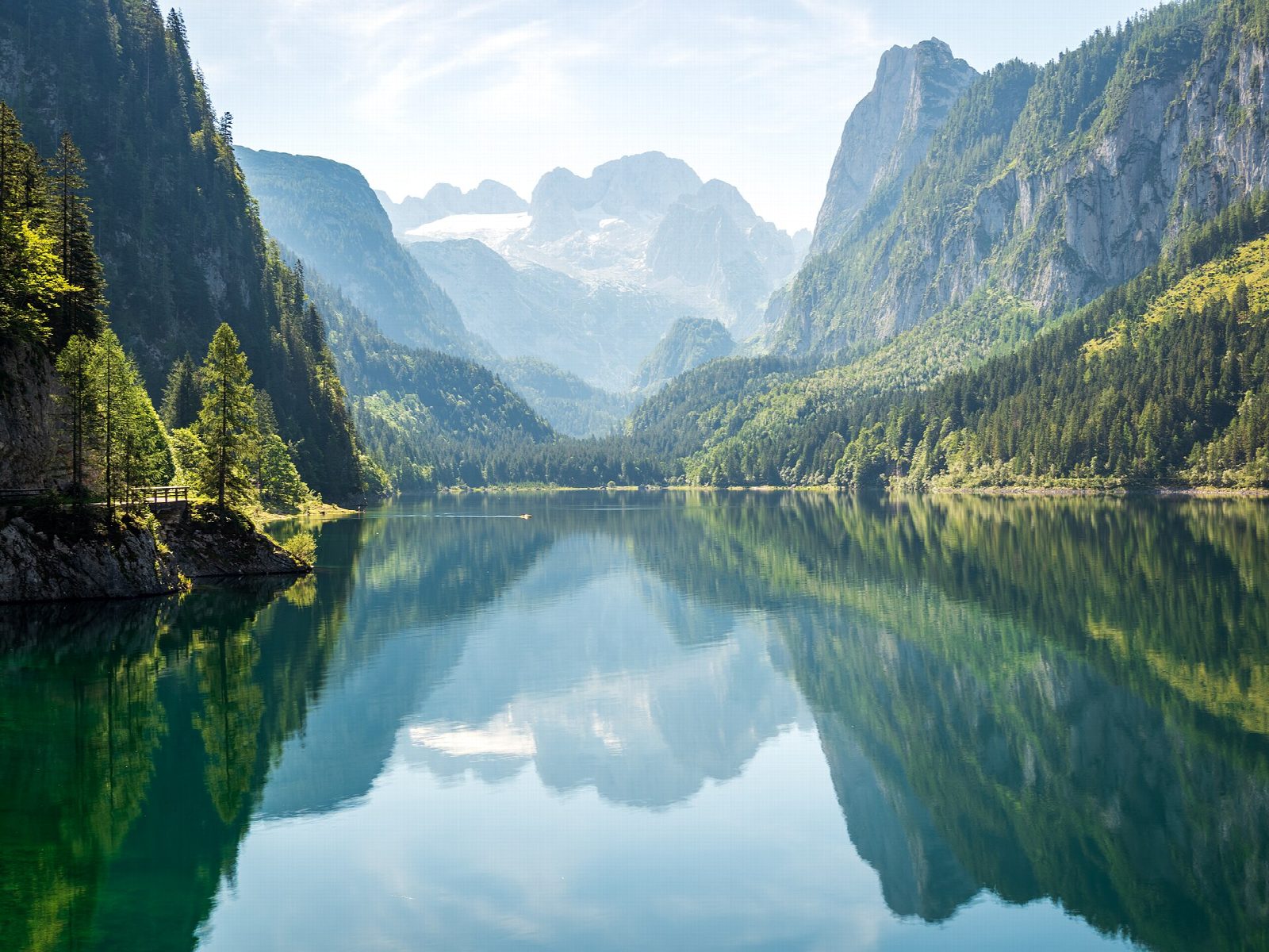
From the car park by the dam at the northern end of the Vorderer Gosausee, a broad track follows the north shore under the slopes of the Gosaukamm. At the head of the lake it crosses the inflow on a bridge, where the view up the valley to the Dachstein and its glacier opens out. The way back runs along the south shore through the forest to the dam and the inn beside it.
It is 4.9 km round with 64 m of ascent; allow about 1½ hours. The grade is Easy: a wide, level gravel track the whole way.
The view of the Dachstein reflected in the lake is best on a still morning. The track is suitable for pushchairs. Those with more time can go on up the valley to the Hinterer Gosausee, which adds about two hours there and back. Swimming in the lake is cold even in summer.
All the car parks at the lake have been charged since summer 2024. Buses stop by the car park. The Gosaukamm cable car starts by the car park.
Route drawn by Global Adventurer along OpenStreetMap paths (© OpenStreetMap contributors, ODbL), with figures worked out from it. Check the forecast and the ground on the day: paths change.
Good to know
- The Vorderer Gosausee lies at about 930 m under the Dachstein, whose glacier is reflected in it on a still day
- A level walk on a broad track round the lake
- All the car parks at the lake have been charged since summer 2024; the Gosaukamm cable car starts beside them
Getting there
Start: Gosausee car park · Pay and display. 47.53379, 13.49591
Places to stay nearby
Rooms in and around Upper Austria: Booking.com → Expedia →
Affiliate links: if you book, Global Adventurer earns a small commission at no cost to you.
Paths change, and the weather decides the day. The line and figures come from OpenStreetMap and our own checks; take a map, check the forecast, and turn back if it isn't right.