Line © OpenStreetMap contributors (ODbL), checked by Global Adventurer.
The walk
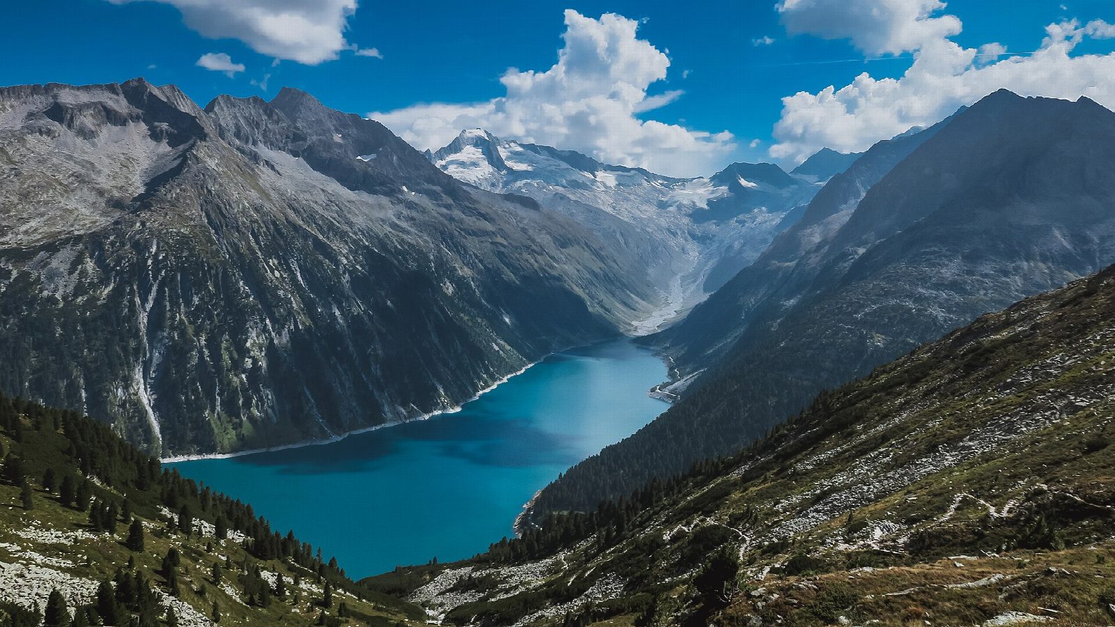
From car park P1 by the Schlegeis dam, walk along the road on the western shore of the reservoir to the start of the path. It climbs steeply up the slope in zigzags, over rock and roots and past small streams, with the turquoise reservoir growing smaller below. Higher up the path crosses open, stony ground to the Olpererhütte, at about 2,389 m, with the glaciers of the Zillertal Alps across the valley. A few minutes beyond the hut a small suspension bridge spans a stream, one of the most photographed places in the Zillertal. Return the same way.
It is 7.8 km there and back with 575 m of ascent; allow about 4 hours. The grade is Hard: a steep, rocky mountain path most of the way, mapped as demanding.
In 2026 the hut is open from 29 May to 7 October; after that there is no food or shelter, and snow can cover the upper path. The bridge is busy on summer days. Sure feet and good boots are needed.
The Schlegeis road from Ginzling is a toll road, open from 21 May to 1 November in 2026. In summer buses run from Mayrhofen to the reservoir.
Route drawn by Global Adventurer along OpenStreetMap paths (© OpenStreetMap contributors, ODbL), with figures worked out from it. Check the forecast and the ground on the day: paths change.
Good to know
- The Olpererhütte, at about 2,389 m, looks down over the Schlegeis reservoir to the glaciers of the Zillertal Alps
- A small suspension bridge just beyond the hut has become one of the most photographed places in the Zillertal
- The path climbs about 600 m in 3 km and is steep and rocky in places
- The Schlegeis road is a toll road, open from 21 May to 1 November in 2026; the hut is open from 29 May to 7 October 2026
Getting there
Start: Schlegeis car park P1. 47.03914, 11.70243
Places to stay nearby
Rooms in and around Tyrol: Booking.com → Expedia →
Affiliate links: if you book, Global Adventurer earns a small commission at no cost to you.
Paths change, and the weather decides the day. The line and figures come from OpenStreetMap and our own checks; take a map, check the forecast, and turn back if it isn't right.
