Line © OpenStreetMap contributors (ODbL), checked by Global Adventurer.
The walk
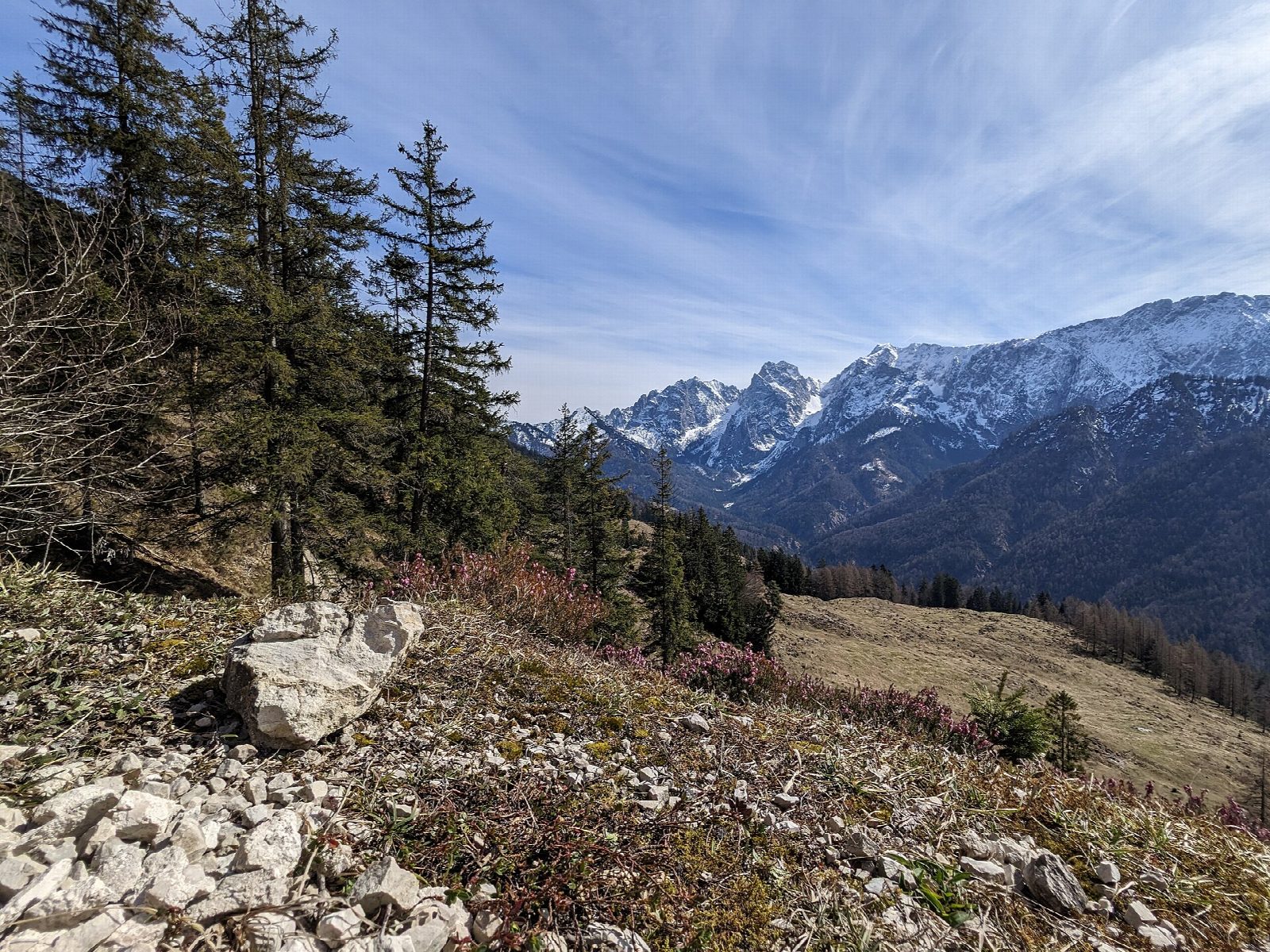
From the Kaisertal car park in Kufstein-Sparchen, the path climbs the famous steps, some 300 of them, to the Neapelbank, a viewpoint over Kufstein and the Inn valley. It then follows the valley track east into the Kaisertal, between the Zahmer and the Wilder Kaiser, past the farm inn of the Pfandlhof and the little Antoniuskapelle. The track goes on into the woods to the Anton-Karg-Haus at Hinterbärenbad, at about 830 m, under the cliffs of the Wilder Kaiser. Return the same way.
It is 17.2 km there and back with 586 m of ascent; allow about 6 hours. The grade is Hard: a long walk on a good track after the steep steps at the start.
Until 2008 the Kaisertal had no road, and it is still closed to visitors' cars. Several inns along the way serve food in summer, so the walk is easy to shorten. The track is used by the residents' vehicles.
The Kaisertal car park is in Sparchen, on the north-east edge of Kufstein, about 2 km from Kufstein station, with a bus stop nearby.
Route drawn by Global Adventurer along OpenStreetMap paths (© OpenStreetMap contributors, ODbL), with figures worked out from it. Check the forecast and the ground on the day: paths change.
Good to know
- The Kaisertal lies between the Wilder and the Zahmer Kaiser; until 2008 it had no road
- From the car park some 300 steps climb the first steep rise; then the way runs past farms and inns such as the Pfandlhof
- Past the Antoniuskapelle to the Anton-Karg-Haus at Hinterbärenbad, about 830 m
Getting there
Start: Kufstein, Kaisertal car park. 47.59503, 12.18764
Places to stay nearby
Rooms in and around Kufstein: Booking.com → Expedia →
Affiliate links: if you book, Global Adventurer earns a small commission at no cost to you.
Paths change, and the weather decides the day. The line and figures come from OpenStreetMap and our own checks; take a map, check the forecast, and turn back if it isn't right.