Line © OpenStreetMap contributors (ODbL), checked by Global Adventurer.
The walk
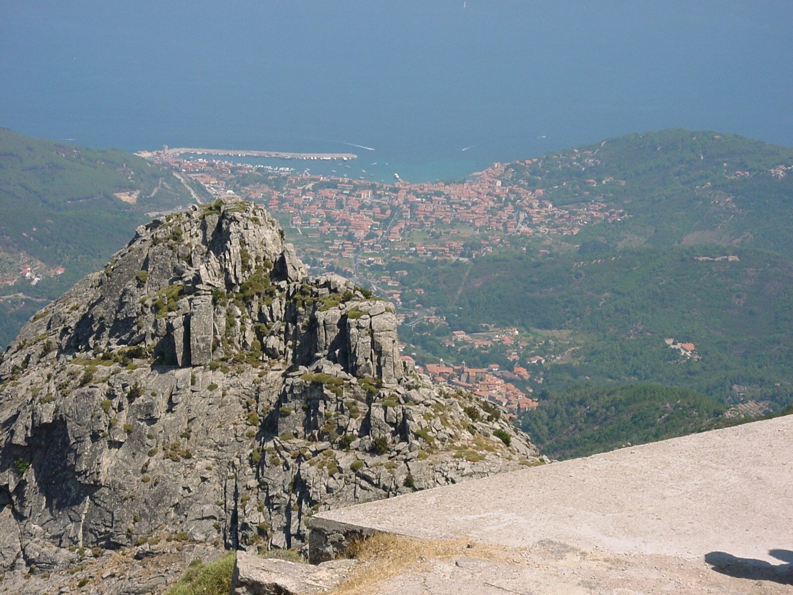
From the car park in Marciana, an old village at 375 m on the west of Elba, path 101 leaves by the Sant'Agabito gate and climbs through chestnut woods to the hermitage of San Cerbone, linked with the year 575 and seen only from outside. It climbs on across the slope, crossing the long-distance ridge path twice, and the last stretch to the summit of Monte Capanne, 1,019 m, is the steepest. Come back down path 101 to the upper crossing, follow the ridge path west along the slope, and take path 110 and then path 103 down to Marciana.
It is 10.3 km round with 759 m of ascent; allow about 5½ hours. The grade is Moderate: good paths in the woods, then steep, rough granite above them.
The park calls this a demanding walk for practised walkers. Monte Capanne is a dome of granodiorite, and on a clear day the view takes in Corsica, the other islands of the archipelago and the Tuscan coast. Do not take path 100 along the ridge from the summit towards La Galera: it is a via ferrata with cables. A cable car runs from near Marciana to the summit, so you can walk one way.
There are free car parks at the edge of Marciana.
Route drawn by Global Adventurer along OpenStreetMap paths (© OpenStreetMap contributors, ODbL), with figures worked out from it. Check the forecast and the ground on the day: paths change.
Good to know
- Monte Capanne, 1,019 m, is the highest point of the Tuscan islands, a dome of granodiorite
- On a clear day the view reaches Corsica, the other islands of the archipelago and the Tuscan coast
- Past the hermitage of San Cerbone, linked with the year 575
- A cable car runs from near Marciana to the summit
Summits on the way
- Monte Capanne 1,019 m · passed close by
Getting there
Start: Marciana car park · Free parking. 42.79064, 10.16797
Places to stay nearby
Rooms in and around Tuscany: Booking.com → Expedia →
Affiliate links: if you book, Global Adventurer earns a small commission at no cost to you.
Paths change, and the weather decides the day. The line and figures come from OpenStreetMap and our own checks; take a map, check the forecast, and turn back if it isn't right.