Line © OpenStreetMap contributors (ODbL), checked by Global Adventurer.
The walk
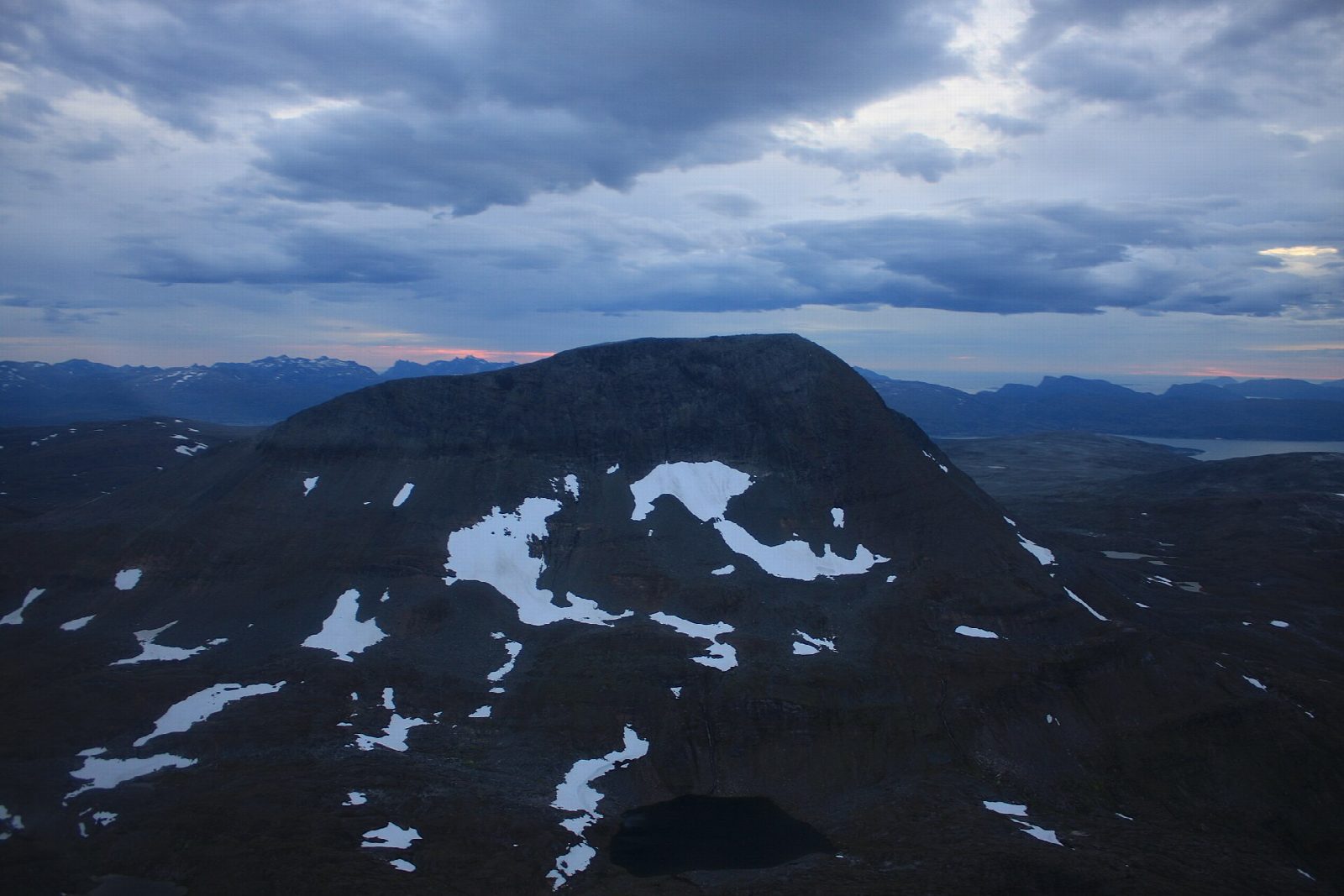
From the car park at the start of Turistvegen in Tromsdalen, follow the tractor road south-east up the valley beside the river. After about 4 km the path crosses the river, Tromsdalselva, and heads north-east, then climbs the mountainside, steeply in places, to the top of Tromsdalstinden, 1,238 m. Return the same way.
It is 14.8 km there and back with 1,197 m of ascent; allow about 8 hours. The grade is Strenuous: a long day with a steep climb of some 1,200 m.
Troms Turlag gives the season as June to September and warns that snow cornices can hang over the edge of the top, even early in the snow-free season: keep well back from the edge. It says families with children used to walking can manage it, and suggests cycling the first part of the valley to save time.
The car park at the start of Turistvegen is small and unnamed on the map. Tromsdalen begins at the bridge over Tromsøysundet, so the start is easy to reach from the city.
Route drawn by Global Adventurer along OpenStreetMap paths (© OpenStreetMap contributors, ODbL), with figures worked out from it. Check the forecast and the ground on the day: paths change.
Good to know
- Tromsdalstinden, 1,238 m, the highest top seen from Tromsø
- Up the tractor road into Tromsdalen, across the river and up the north-east side
- Snow cornices can hang over the edge of the top even early in the snow-free season: keep well back
- Troms Turlag suggests cycling the first part of the valley to save time
Summits on the way
- Tromsdalstinden - Sálašoaivi 1,238 m
Getting there
Start: Tromsdalen. 69.63838, 19.01873
Places to stay nearby
Rooms in and around Tromsø: Booking.com → Expedia →
Affiliate links: if you book, Global Adventurer earns a small commission at no cost to you.
Paths change, and the weather decides the day. The line and figures come from OpenStreetMap and our own checks; take a map, check the forecast, and turn back if it isn't right.