Line © OpenStreetMap contributors (ODbL), checked by Global Adventurer.
The walk
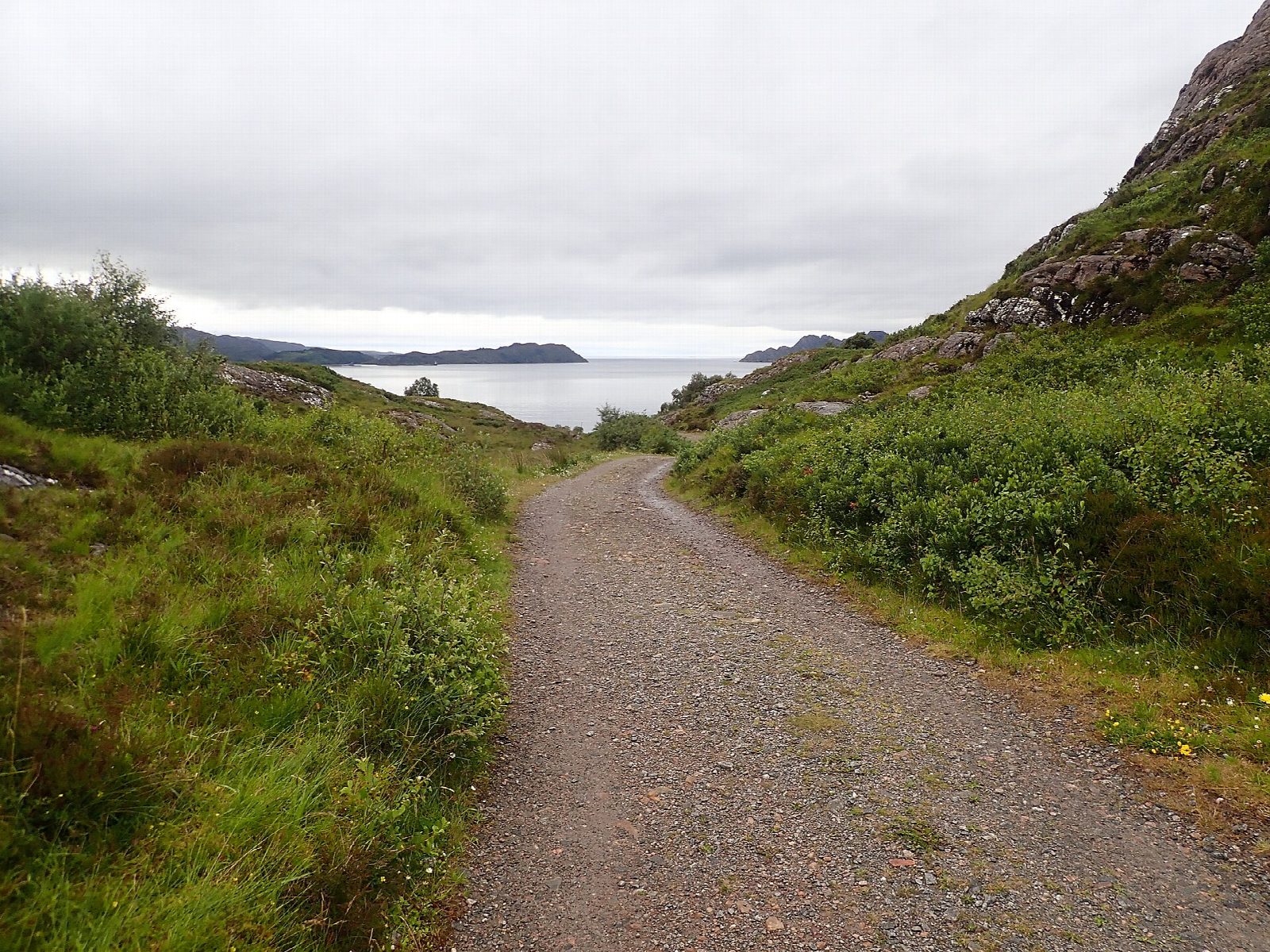
The walk starts from the car park on the shore at Shieldaig, by the public toilets. It goes up through the village past the school and follows a stony track north onto the peninsula, through silver birch with views over Loch Torridon. At a large cairn a rocky path, marked with arrows on the rocks, crosses the moor and rejoins the track. The route continues to the far end of the peninsula, where paths lead to viewpoints over the loch, then returns south on the track along the eastern side and back through the village.
It is 4.8 km with 111 m of ascent; allow about 1½ hours. The grade is Easy: good tracks, with a very rocky and rough section of path.
The path over the moor includes a short rocky step and a wetter stretch. Shieldaig Island, just offshore, is a nature reserve. From the far end of the peninsula the view takes in the Torridon hills across the water. Ruined houses stand by the bay at Camas Beithe.
Parking is free. There is no station nearby.
Route drawn by Global Adventurer along OpenStreetMap paths (© OpenStreetMap contributors, ODbL), with figures worked out from it. Check the forecast and the ground on the day: paths change.
Good to know
- A peninsula of rock, heather and birch with views over Loch Torridon
- Shieldaig Island, offshore, is a nature reserve
Getting there
Start: Shieldaig shore car park · Free parking. 57.52521, -5.64940
Places to stay nearby
Rooms in and around Strathcarron: Booking.com → Expedia →
Affiliate links: if you book, Global Adventurer earns a small commission at no cost to you.
Paths change, and the weather decides the day. The line and figures come from OpenStreetMap and our own checks; take a map, check the forecast, and turn back if it isn't right.