Line © OpenStreetMap contributors (ODbL), checked by Global Adventurer.
The walk
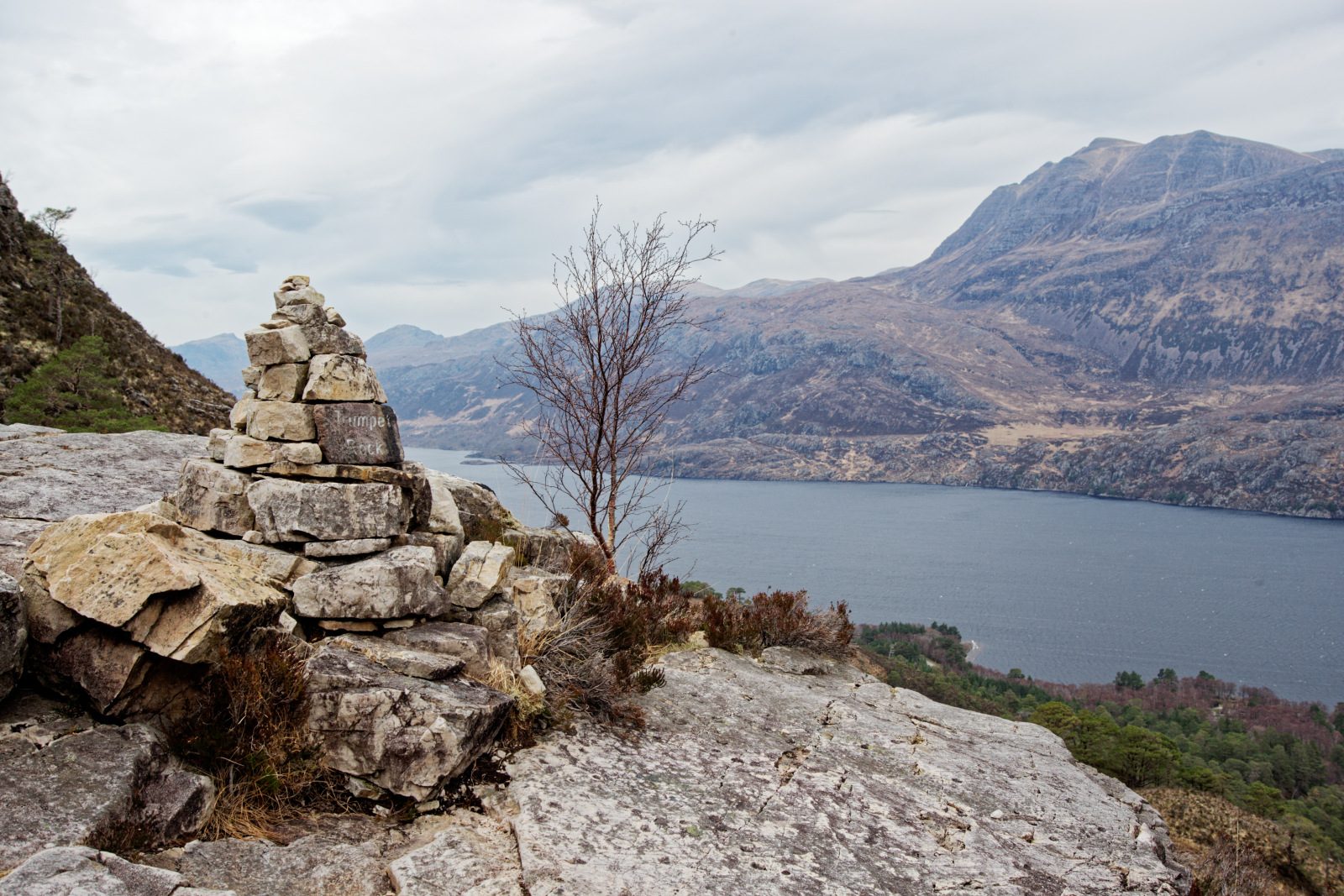
The walk starts from the Coille na Glas Leitire car park on the Loch Maree side of the A832, north of Kinlochewe. The trail goes through an underpass beneath the road and climbs through birch and Scots pine beside a burn, crossing it on a bridge. Above the trees the path is engineered up steep ground among white quartzite crags, past waymarker cairns, to the Conservation Cairn at its highest point, about 550 m. It crosses a plateau of small lochans and descends, past the Lunar Loch, back into the pinewood and the car park.
It is 5.9 km with 558 m of ascent; allow about 3¾ hours. The grade is Moderate, but it is a steep, rocky mountain path.
The upper part is exposed to the weather, so take boots and windproof and waterproof clothing. The pinewood here has stood for at least 8,000 years. It was the main reason Beinn Eighe became Britain's first national nature reserve, in the 1950s. From the top there are views over Loch Maree to Slioch.
Parking is free. There is no station nearby.
Route drawn by Global Adventurer along OpenStreetMap paths (© OpenStreetMap contributors, ODbL), with figures worked out from it. Check the forecast and the ground on the day: paths change.
Good to know
- Beinn Eighe became Britain's first national nature reserve in the 1950s
- The waymarked trail climbs through ancient pinewood to the Conservation Cairn at about 550 m
Summits on the way
- Leathad Buidhe 559 m · passed close by
Getting there
Start: Coille na Glas Leitire car park · Free parking. 57.63067, -5.34884
Places to stay nearby
Rooms in and around Achnashellach: Booking.com → Expedia →
Affiliate links: if you book, Global Adventurer earns a small commission at no cost to you.
Paths change, and the weather decides the day. The line and figures come from OpenStreetMap and our own checks; take a map, check the forecast, and turn back if it isn't right.