Line © OpenStreetMap contributors (ODbL), checked by Global Adventurer.
The walk
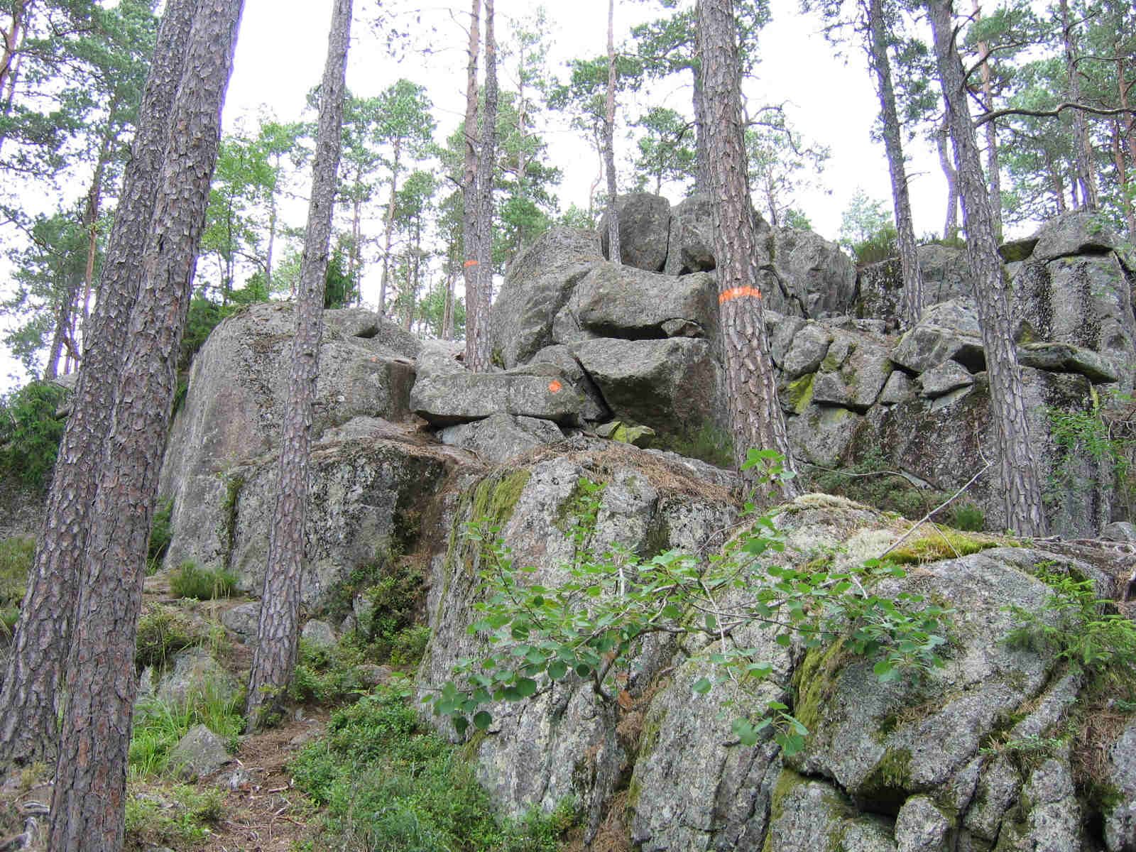
From the car park at the main entrance to Tiveden National Park, follow the red markers of Trollkyrkerundan east into the forest. The path winds through Tiveden's rift valleys, past the small lakes Bottnalösen and Metesjön, then north and east by Trollkyrketärnen to a short climb onto Stora Trollkyrkan. It turns south through the forest to Lilla Trollkyrkan, with its view towards Lake Vättern, and heads west back to the entrance. The two rocky hills, the troll churches, were once landmarks for sailors on Vättern.
It is 5 km round with 124 m of ascent; allow about 1½ hours. The grade is Easy by the figures, but the national park calls this a fairly long and demanding trail, partly over difficult ground, with rocky stretches and short steep climbs.
Dogs must be kept on a lead. Fires are allowed only at the set places, and tents only at the set places for one night. Visitors have worn away the lichen on the hills, so keep to the path. There is a hand pump at the information hut by the entrance, but the water is not tested.
Parking at the main entrance is free but fills quickly between 11:00 and 14:00 from June to September. The park is off road 49 between Karlsborg and Askersund; the only public transport is the on-demand Närtrafik service.
Route drawn by Global Adventurer along OpenStreetMap paths (© OpenStreetMap contributors, ODbL), with figures worked out from it. Check the forecast and the ground on the day: paths change.
Good to know
- Stora and Lilla Trollkyrkan, the troll churches, are two rocky hills that were landmarks for sailors on Vättern
- The national park's red-marked Trollkyrkerundan, about 4.6 km, crosses Tiveden's rift-valley country of crags, boulders and small lakes
- The park calls it a fairly long and demanding trail, partly over difficult ground
- Dogs must be on a lead; parking at the main entrance is free
Summits on the way
- Stora Trollkyrka · passed close by
- Lilla Trollkyrka 210 m · passed close by
- Oxaberget · passed close by
Getting there
Start: Tiveden National Park main entrance · Free parking. 58.71577, 14.59290
Places to stay nearby
Rooms in and around Tiveden: Booking.com → Expedia →
Affiliate links: if you book, Global Adventurer earns a small commission at no cost to you.
Paths change, and the weather decides the day. The line and figures come from OpenStreetMap and our own checks; take a map, check the forecast, and turn back if it isn't right.