Line © OpenStreetMap contributors (ODbL), checked by Global Adventurer.
The hike
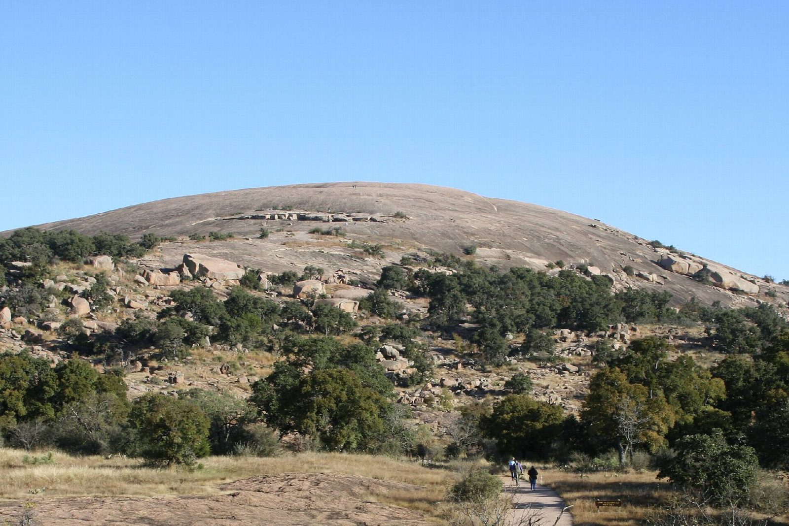
The walk starts at the Summit Trail car park in Enchanted Rock State Natural Area. The Summit Trail crosses Sandy Creek and climbs straight up open granite for 0.8 miles to the summit, with its vernal pools and wide view. Come back down to the junction less than halfway and turn right on the Echo Canyon Trail, through the gap between Enchanted Rock and Little Rock, to Moss Lake. Follow the Moss Lake Trail past the lake to the Loop Trail and turn left along it, round the west side of Little Rock, to the car park.
It is a 3.9-mile (6.3 km) loop with 480 feet (145 m) of climbing; allow about 2 hours. The grade is Easy: short, with one steep climb on bare rock.
A day pass must be reserved ahead for weekends, school breaks and holidays, and the park often fills on weekdays too; when it is full the gates close to anyone without one. Book up to 30 days ahead with Texas State Parks. Entry is $8 for anyone aged 13 or over. It also closes for public hunts on some days in fall and winter.
The Summit Trail and Echo Canyon close in and after rain, because wet granite is slippery; only the Loop Trail stays open. Carry a quart of water for each hour. Pets are not allowed on the rock.
Route drawn by Global Adventurer along OpenStreetMap paths (© OpenStreetMap contributors, ODbL), with figures worked out from it. Check the forecast and the ground on the day: paths change.
Good to know
- Up a huge pink granite dome whose creaking as it cools at night inspired Native American legends
- Day passes sell out on busy days: reserve online with Texas State Parks before you go
- Bare rock is slippery when wet and no place to be in lightning; the summit trail closes in bad weather
Summits on the way
- Enchanted Rock 1,837 ft (560 m)
Getting there
Start: Enchanted Rock Summit Trailhead. 30.49722, -98.81822
Places to stay nearby
Rooms in and around Texas Hill Country: Booking.com → Expedia →
Affiliate links: if you book, Global Adventurer earns a small commission at no cost to you.
Paths change, and the weather decides the day. The line and figures come from OpenStreetMap and our own checks; take a map, check the forecast, and turn back if it isn't right.