Line © OpenStreetMap contributors (ODbL), checked by Global Adventurer.
The walk
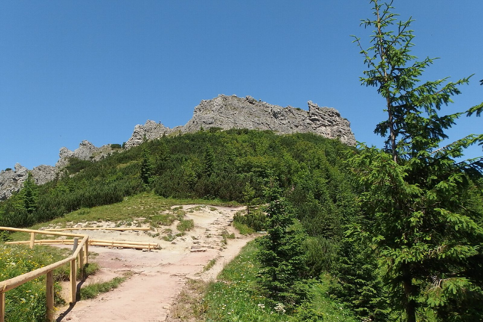
From the car parks at the top of ul. Strążyska, walk into the Dolina Strążyska on the red path, beside the stream, to the meadow of Polana Strążyska under the north face of Giewont. A yellow path leads on to Siklawica, a waterfall in two steps; come back to the meadow and take the black path east, steeply up through the forest to Czerwona Przełęcz. A short climb over rocks leads to the top of Sarnia Skała (1,377 m), which looks across to Giewont and down on Zakopane. The black path drops to the Dolina Białego, a narrow limestone gorge; follow it down and turn left along the Droga pod Reglami back to Strążyska.
It is 9 km with 483 m of ascent; allow about 3½ hours. The grade is Hard: short, but the climb to Sarnia Skała is steep and the top rocky.
Giewont's own summit is reached by chains and is not on this walk. The paths are open all year but icy in winter. All Tatra paths are closed from dusk to dawn between 1 March and 30 November. Dogs are allowed only on the Droga pod Reglami.
The car parks at the foot of the valley charge. Buses stop at Dolina Strążyska. The park entry ticket is 11 zł.
Route drawn by Global Adventurer along OpenStreetMap paths (© OpenStreetMap contributors, ODbL), with figures worked out from it. Check the forecast and the ground on the day: paths change.
Good to know
- Siklawica, a waterfall in two steps, falls from the slopes of Giewont at the head of the Strążyska valley
- Sarnia Skała, 1,377 m, is a limestone top looking straight across to the north face of Giewont
- Down the Dolina Białego, a narrow limestone gorge, and home along the Droga pod Reglami
- Giewont's own summit is reached by chains and is not part of this walk
Summits on the way
- Sarnia Skała 1,378 m · passed close by
Getting there
Start: Dolina Strążyska car park · Pay and display. 49.27882, 19.93922
Places to stay nearby
Rooms in and around Tatra Mountains: Booking.com → Expedia →
Affiliate links: if you book, Global Adventurer earns a small commission at no cost to you.
Paths change, and the weather decides the day. The line and figures come from OpenStreetMap and our own checks; take a map, check the forecast, and turn back if it isn't right.