Line © OpenStreetMap contributors (ODbL), checked by Global Adventurer.
The walk
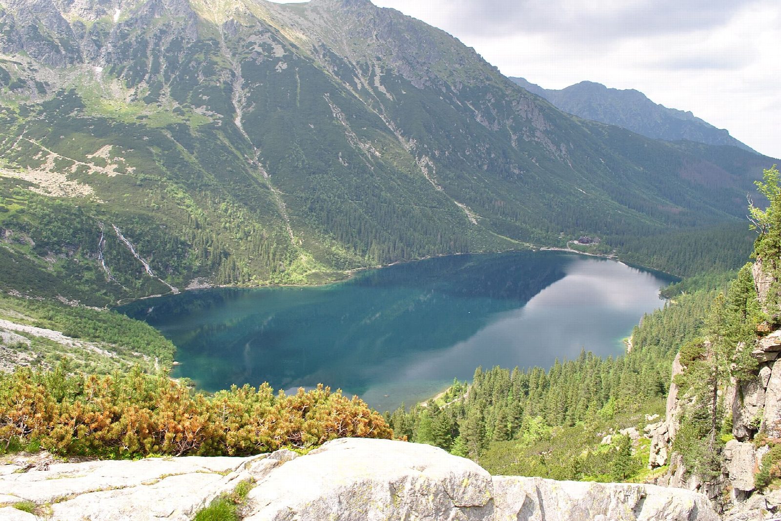
From the national park's car park at Palenica Białczańska, follow the Oswald Balzer road, closed to private traffic, up the Białka valley past the falls of Wodogrzmoty Mickiewicza and the meadow of Włosienica to the PTTK hostel above Morskie Oko (the Eye of the Sea). Go round the lake by the west shore, then climb the stony, stepped path to Czarny Staw pod Rysami, a dark lake under the north face of Rysy. Come back down, return along the east shore and walk down the road.
It is 19.7 km with 606 m of ascent; allow about 6½ hours. The grade is Hard, for the length: most of it is on the road.
Beyond Czarny Staw the red path climbs to Rysy with chains; this walk turns back at the lake. In winter avalanches cross the road in the Żleb Żandarmerii, and the park says even easy high paths then need crampons. All Tatra paths are closed from dusk to dawn between 1 March and 30 November, and dogs are not allowed.
The car parks at Palenica Białczańska and Łysa Polana must be booked online: in 2026 a day cost 36 to 75 zł. The park entry ticket is 11 zł.
Route drawn by Global Adventurer along OpenStreetMap paths (© OpenStreetMap contributors, ODbL), with figures worked out from it. Check the forecast and the ground on the day: paths change.
Good to know
- Morskie Oko, at 1,395 m, is the largest lake in the Tatras; Czarny Staw pod Rysami lies 190 m higher, under the north face of Rysy
- The way up is the Oswald Balzer road, closed to private traffic, with the falls of Wodogrzmoty Mickiewicza on the way
- Beyond Czarny Staw the path climbs to Rysy with chains: this walk turns back at the lake
- The car park at Palenica Białczańska must be booked in advance
Getting there
Start: Palenica Białczańska car park · Pay and display. 49.25600, 20.10305
Places to stay nearby
Rooms in and around Tatra Mountains: Booking.com → Expedia →
Affiliate links: if you book, Global Adventurer earns a small commission at no cost to you.
Paths change, and the weather decides the day. The line and figures come from OpenStreetMap and our own checks; take a map, check the forecast, and turn back if it isn't right.