Line © OpenStreetMap contributors (ODbL), checked by Global Adventurer.
The walk
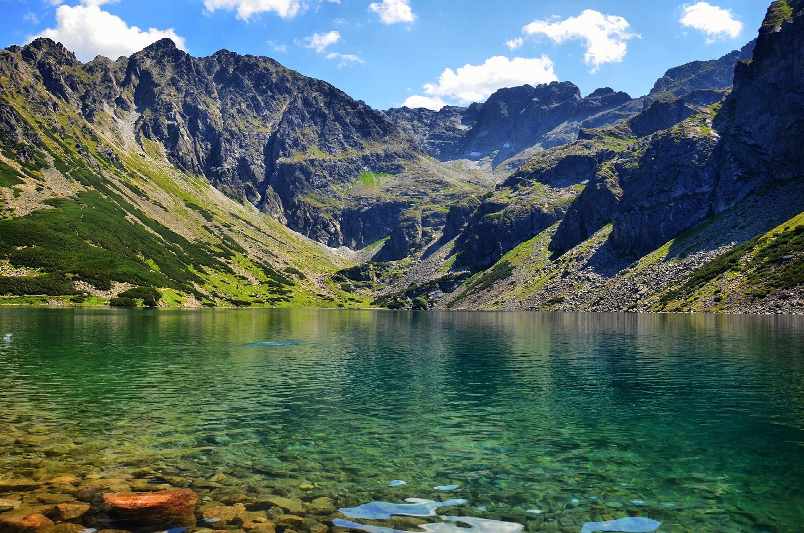
From the bus terminus at Kuźnice, take the blue path east, steeply up through the forest over Boczań, then along the open ridge of Skupniów Upłaz to Przełęcz między Kopami. Drop to Hala Gąsienicowa, an old shepherds' pasture, and the stone-built Murowaniec hostel, then follow the blue path on, over the shoulder of Mały Kościelec, to Czarny Staw Gąsienicowy, the largest lake in the valley, under the walls of Kościelec. Come back to Murowaniec and Przełęcz między Kopami, then take the yellow path down the Dolina Jaworzynka to Kuźnice.
It is 13 km with 716 m of ascent; allow about 5½ hours. The grade is Moderate: steady climbs on rocky paths, with no chains.
From late autumn to spring the paths are under snow and ice, and the park says easy summer paths then need crampons; on 3 October 2026 snow already lay on the higher ground. All Tatra paths are closed from dusk to dawn between 1 March and 30 November. Dogs are not allowed.
The road to Kuźnice is closed to private cars: take a minibus from Zakopane. The park entry ticket is 11 zł.
Route drawn by Global Adventurer along OpenStreetMap paths (© OpenStreetMap contributors, ODbL), with figures worked out from it. Check the forecast and the ground on the day: paths change.
Good to know
- Hala Gąsienicowa, an old shepherds' pasture under Kościelec, with the stone-built Murowaniec hostel
- Czarny Staw Gąsienicowy, at 1,624 m, is the largest lake in the Gąsienicowa valley
- Up by Boczań and Skupniów Upłaz, down by the Jaworzynka valley
- Kuźnice is reached by minibus from Zakopane: the road is closed to private cars
Summits on the way
- Boczań 1,224 m · passed close by
- Wysokie 1,287 m · passed close by
Getting there
Start: Kuźnice bus station. 49.26995, 19.98022
Places to stay nearby
Rooms in and around Tatra Mountains: Booking.com → Expedia →
Affiliate links: if you book, Global Adventurer earns a small commission at no cost to you.
Paths change, and the weather decides the day. The line and figures come from OpenStreetMap and our own checks; take a map, check the forecast, and turn back if it isn't right.