Line © OpenStreetMap contributors (ODbL), checked by Global Adventurer.
The walk
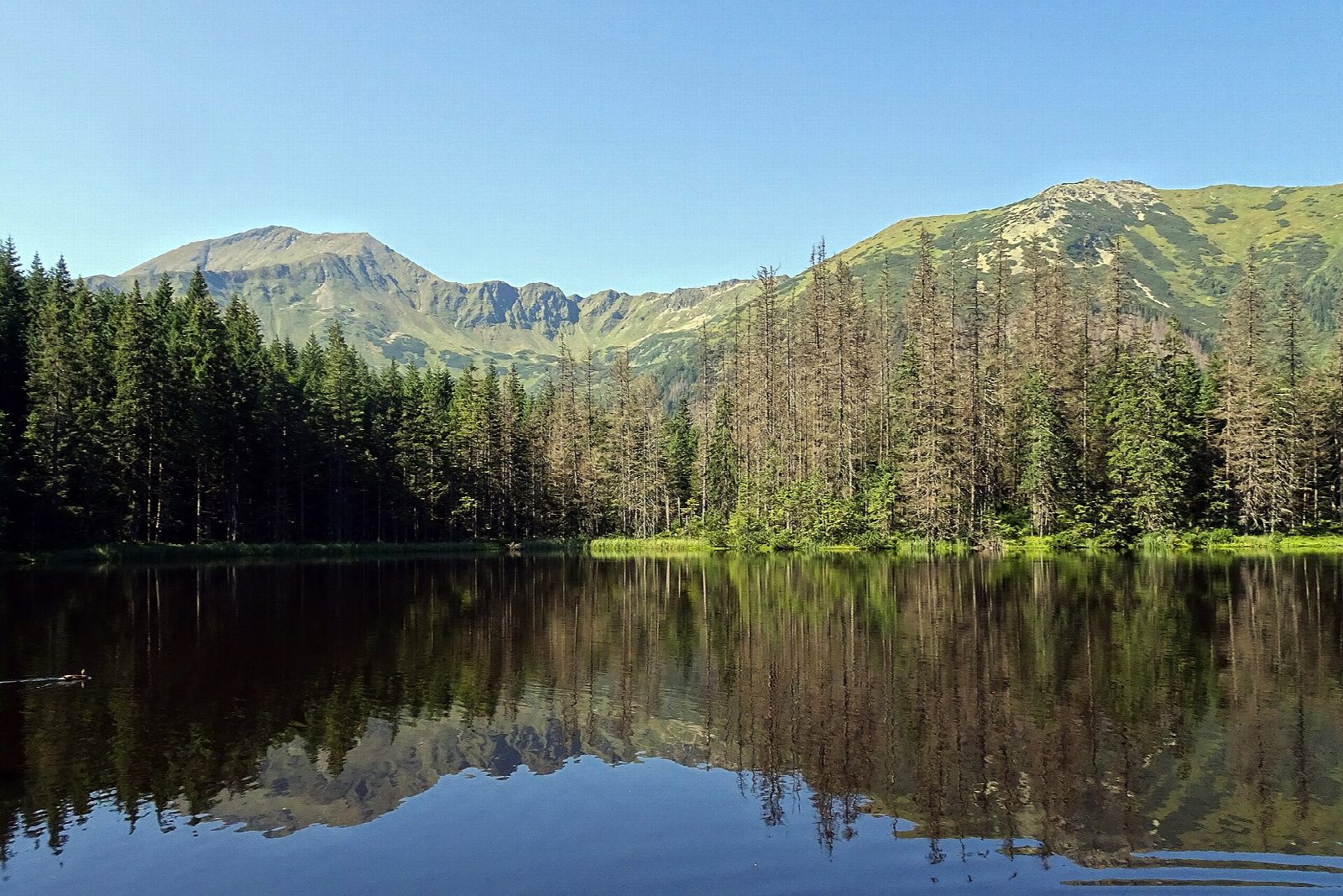
From the national park's car park at Kiry, walk south into the Dolina Kościeliska on the green-marked track, past the Kantak gate, the meadows of Wyżnia Kira Miętusza and the chapel at Stare Kościeliska, where iron was once smelted. A short side path leads to Lodowe Źródło, a spring that runs at 4.5°C all year. The valley narrows through two more limestone gates to Polana Pisana, then climbs gently to the PTTK hostel on Hala Ornak. From there a black path rises through the forest to Smreczyński Staw. Return the same way.
It is 14.3 km there and back with 338 m of ascent; allow about 4½ hours. The grade is Moderate: a broad, easy track for most of the way.
A yellow side path from Polana Pisana leads into the Wąwóz Kraków gorge, which ends below a ladder; it is not part of this walk. The valley is open all year, but icy in winter. All Tatra paths are closed from dusk to dawn between 1 March and 30 November, and dogs are not allowed.
The park's car park at Kiry costs 30 zł a day. Buses run from Zakopane to Kiry. The park entry ticket is 11 zł.
Route drawn by Global Adventurer along OpenStreetMap paths (© OpenStreetMap contributors, ODbL), with figures worked out from it. Check the forecast and the ground on the day: paths change.
Good to know
- A broad track up the Kościeliska valley through three limestone gates: Brama Kantaka, Brama Kraszewskiego and Brama Krakowska
- The Lodowe Źródło spring beside the path runs at 4.5°C all year
- Stare Kościeliska, the old mining settlement, keeps a chapel and the remains of an ironworks
- Smreczyński Staw is a small moraine lake at 1,226 m among spruce
Summits on the way
- Okręt 1,052 m · passed close by
- Głucha Skała · passed close by
Getting there
Start: Kiry car park · Pay and display. 49.27599, 19.86719
Places to stay nearby
Rooms in and around Tatra Mountains: Booking.com → Expedia →
Affiliate links: if you book, Global Adventurer earns a small commission at no cost to you.
Paths change, and the weather decides the day. The line and figures come from OpenStreetMap and our own checks; take a map, check the forecast, and turn back if it isn't right.