Line © OpenStreetMap contributors (ODbL), checked by Global Adventurer.
The walk
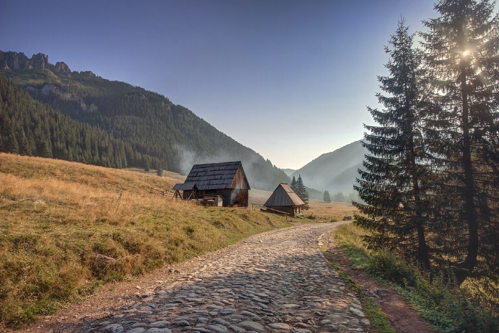
From the car park at Siwa Polana, walk south on the road through the meadow, beside the Siwa Woda stream, into the Dolina Chochołowska. Past the clearing of Polana Huciska the way becomes a hard track and runs through two rock narrows, Niżnia Brama and Wyżnia Brama Chochołowska, then climbs gently to the open meadow of Polana Chochołowska and the PTTK hostel at its top. Return the same way.
It is 15.3 km there and back with 244 m of ascent; allow about 4½ hours. The grade is Moderate: the gradient is gentle and the track wide enough for a wheelchair.
In the first half of April some 14 million crocuses flower on Polana Chochołowska, and the valley is very busy. The path is open all year but icy in winter, and big storms in 2013 left fallen trees beside it. This is one of only two paths in the Tatra National Park where dogs may go, on a lead. All Tatra paths are closed from dusk to dawn between 1 March and 30 November.
The car park at Siwa Polana is run by the old forest community of the Eight Villages and charges. A road train runs from there to Polana Huciska. The park entry ticket is 11 zł.
Route drawn by Global Adventurer along OpenStreetMap paths (© OpenStreetMap contributors, ODbL), with figures worked out from it. Check the forecast and the ground on the day: paths change.
Good to know
- The largest valley in the Polish Tatras, walked on a broad track to the Chochołowska meadow and its hostel
- About 14 million crocuses flower on Polana Chochołowska, at their best in the first half of April
- One of only two paths in the Tatra National Park where dogs are allowed, on a lead
- A road train runs from Siwa Polana to Polana Huciska
Getting there
Start: Siwa Polana car park · Pay and display. 49.28284, 19.84265
Places to stay nearby
Rooms in and around Tatra Mountains: Booking.com → Expedia →
Affiliate links: if you book, Global Adventurer earns a small commission at no cost to you.
Paths change, and the weather decides the day. The line and figures come from OpenStreetMap and our own checks; take a map, check the forecast, and turn back if it isn't right.
