Line © OpenStreetMap contributors (ODbL), checked by Global Adventurer.
The walk
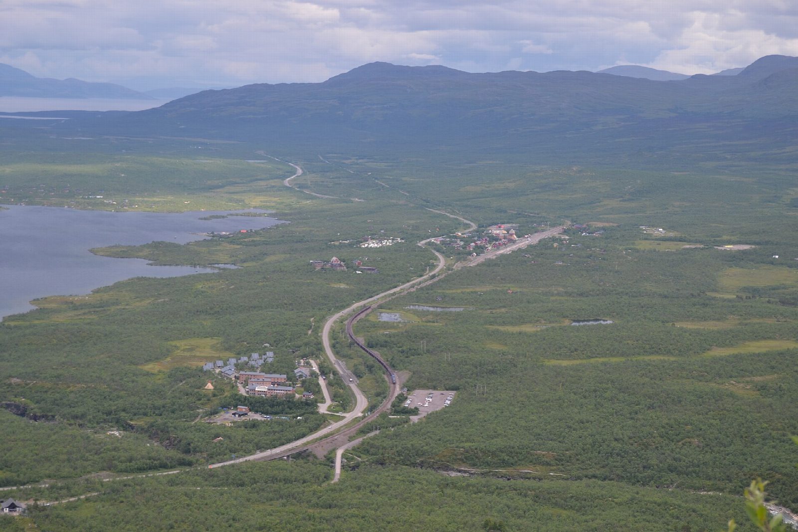
From the car park by Naturum Abisko, follow Länsstyrelsen's red markers south and over the river Abiskojåkka to its west bank. At the stream Rihtunjira the path turns right and climbs beside it through birch forest, past a waterfall in a small gorge, to the tree line. It crosses the stream and goes on up over heath and meadow, under the chairlift, to the Aurora Sky Station at about 900 m. A stony path climbs the last 2 km and 260 m to the summit of Njullá (Nuolja), about 1,169 m. Return the same way.
It is 11.2 km there and back with 774 m of ascent; allow about 5½ hours. The grade is Hard: a long, steady climb on a rough path, wet and muddy in places, and stony above the trees.
This is a summer route. Länsstyrelsen warns of avalanche risk on the path in winter, and the chairlift, which ran from 12 June to 27 September in 2026, is not running in the daytime now. The summit is exposed and the weather can change quickly. In the national park dogs must be on a lead on marked trails.
STF lets its guests park free by the naturum. Abisko Turist station on the Kiruna to Narvik railway is a few minutes' walk from the start.
Route drawn by Global Adventurer along OpenStreetMap paths (© OpenStreetMap contributors, ODbL), with figures worked out from it. Check the forecast and the ground on the day: paths change.
Good to know
- Njullá, also called Nuolja, rises to about 1,169 m above Abisko and Lake Torneträsk
- Länsstyrelsen's red-marked Rihtunjira path climbs beside the Rihtunjira stream through birch forest to the tree line, then over heath under the chairlift
- The Aurora Sky Station stands at about 900 m by the top of the chairlift; the summit is about 2 km and 260 m higher
- A summer route: Länsstyrelsen warns of avalanche risk on the path in winter
Summits on the way
- Nuolja 1,164 m
Getting there
Start: Naturum Abisko car park · Free parking. 68.35795, 18.78572
Places to stay nearby
Rooms in and around Swedish Lapland: Booking.com → Expedia →
Affiliate links: if you book, Global Adventurer earns a small commission at no cost to you.
Paths change, and the weather decides the day. The line and figures come from OpenStreetMap and our own checks; take a map, check the forecast, and turn back if it isn't right.