Line © OpenStreetMap contributors (ODbL), checked by Global Adventurer.
The walk
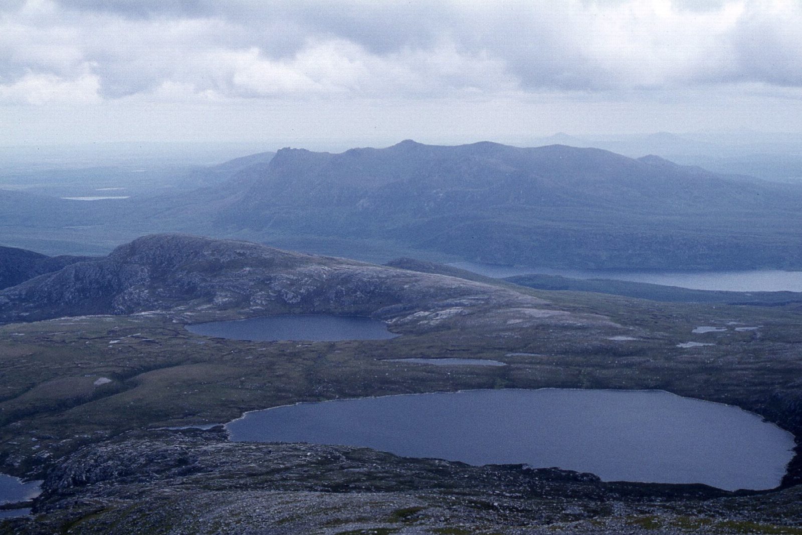
The walk starts from the Ben Hope Trail car park in Strathmore and goes out and back, on path almost all the way. The climb begins at once, rising steeply from close to sea level onto the mountain's southern slopes, then easing on the broad upper ground before the summit of Ben Hope (927 m), the most northerly Munro. On a clear day you look out over the north coast and the Kyle of Tongue.
It is 7.4 km with 907 m of ascent; allow about 6 hours. The grade is Hard. Nearly all the height is gained in a short distance, so expect a steep, sustained climb and a descent that is hard on the knees.
The summit is exposed to weather from the Atlantic, and in mist the broad upper slopes need careful navigation, so carry a map and compass, check the forecast and use your judgement. Winter snow and ice make it far more serious. There are no mapped water sources on the route.
The free car park is beside the single-track road through Strathmore in north Sutherland, a remote area, so plan fuel and supplies.
Route drawn by Global Adventurer along OpenStreetMap paths (© OpenStreetMap contributors, ODbL), with figures worked out from it. Check the forecast and the ground on the day: paths change.
Good to know
- The most northerly Munro
- Rises almost straight from the strath
- Views to the north coast and the Kyle of Tongue
Summits on the way
- Ben Hope 927 m
Getting there
Start: Ben Hope Trail car park · Free parking. 58.39026, -4.63258
Places to stay nearby
Rooms in and around Sutherland: Booking.com → Expedia →
Affiliate links: if you book, Global Adventurer earns a small commission at no cost to you.
Paths change, and the weather decides the day. The line and figures come from OpenStreetMap and our own checks; take a map, check the forecast, and turn back if it isn't right.