Line © OpenStreetMap contributors (ODbL), checked by Global Adventurer.
The walk
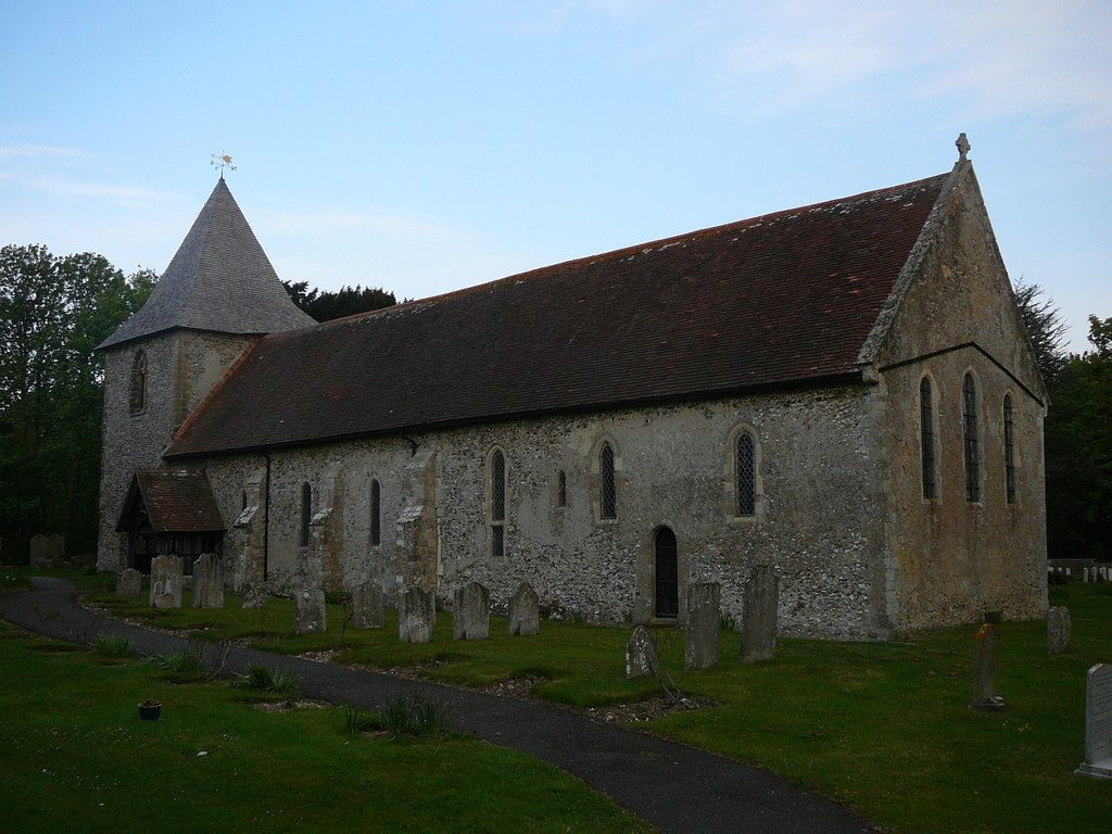
From the shore at Prinsted the walk follows the sea wall south past the boatyards at Thornham to the Great Deep, the channel along the north of the island, where the first security gate lets you through. The path keeps to the eastern shore to St Nicholas church and the sailing club at West Thorney, then on to Longmere Point at the southern tip, facing the bird reserve of Pilsey Island. It turns up the western shore past Marker Point, a good place to look for seals, to the second gate at the Great Deep, and follows the embankment north to Emsworth Yacht Harbour. Thornham Lane and the Sussex Border Path lead back east to Prinsted.
It is 12.6 km and flat, with 0 m of ascent; allow about 3 hours. The grade is Moderate: level all the way, but long and with no shelter.
The south of the island is an Army base. At each gate press the button and wait; you may be asked for your name and address. Keep strictly to the shore path. By the sailing club the foreshore floods at spring tides; a signed high-water path goes behind the club. Keep dogs under close control near stock and nesting birds.
There is room for about 15 cars by the shore at Prinsted, with no charge mentioned. Southbourne station is about 1 km away.
Route drawn by Global Adventurer along OpenStreetMap paths (© OpenStreetMap contributors, ODbL), with figures worked out from it. Check the forecast and the ground on the day: paths change.
Good to know
- Right round Thorney Island on the sea wall, by the Sussex Border Path
- The south of the island is an Army base: you pass two security gates and must keep to the path
- St Nicholas church at West Thorney, seals off Marker Point and the bird reserve of Pilsey Island
- Flat all the way, with wide views over Chichester Harbour
Getting there
Start: Prinsted foreshore. 50.84008, -0.91385
By train: Southbourne station is 1.0 km from the start.
Places to stay nearby
Rooms in and around Southbourne: Booking.com → Expedia →
Affiliate links: if you book, Global Adventurer earns a small commission at no cost to you.
Paths change, and the weather decides the day. The line and figures come from OpenStreetMap and our own checks; take a map, check the forecast, and turn back if it isn't right.

