Line © OpenStreetMap contributors (ODbL), checked by Global Adventurer.
The walk
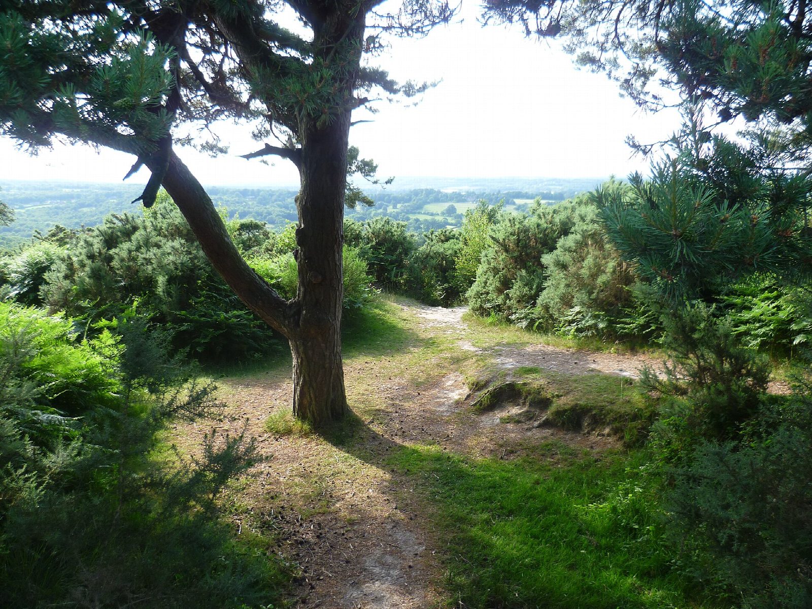
From Gills Lap car park the walk goes north along the wide ride to the clump of pines at Gills Lap, the Enchanted Place of the Winnie-the-Pooh stories, where a trig point marks 204 m. A narrower path leads down to the Heffalump Trap, a hollow with a lone pine, and the ride goes on to the memorial to A. A. Milne and E. H. Shepard and to Roo's Sandy Pit, an old quarry. The walk then goes through the Quarry car park, crosses the B2026 and drops steeply over open heath to a footbridge in the valley bottom, the North Pole. It climbs the ride beyond, turns right and comes back round the rim of Wrens Warren valley, Eeyore's Sad and Gloomy Place, to cross the road again by the car park.
It is 3.5 km with 72 m of ascent; allow about 1 hour. The grade is Easy: short, with one steep drop and climb.
The ground is rough and is muddy and slippery after rain. Cattle and ponies graze the valley. From 1 March to 31 August keep dogs on the paths, for the ground-nesting birds. The road is crossed twice: take care. The Heffalump Trap was reported fenced off in 2025.
Ashdown Forest car parks charge: £2 for an hour, £2.50 for two, £5 all day, paid by phone or app. There is no station near.
Route drawn by Global Adventurer along OpenStreetMap paths (© OpenStreetMap contributors, ODbL), with figures worked out from it. Check the forecast and the ground on the day: paths change.
Good to know
- The places of the Winnie-the-Pooh stories: the Enchanted Place, the Heffalump Trap, Roo's Sandy Pit and the North Pole
- Past the memorial to A. A. Milne and E. H. Shepard, then round the rim of Wrens Warren valley, Eeyore's Gloomy Place
- The clump of pines at Gills Lap, the Enchanted Place, stands at 204 m
- Open heath grazed by cattle, sheep and ponies
Getting there
Start: Gills Lap car park · Pay and display. 51.06446, 0.09302
Places to stay nearby
Rooms in and around Crowborough: Booking.com → Expedia →
Affiliate links: if you book, Global Adventurer earns a small commission at no cost to you.
Paths change, and the weather decides the day. The line and figures come from OpenStreetMap and our own checks; take a map, check the forecast, and turn back if it isn't right.