Line © OpenStreetMap contributors (ODbL), checked by Global Adventurer.
The walk
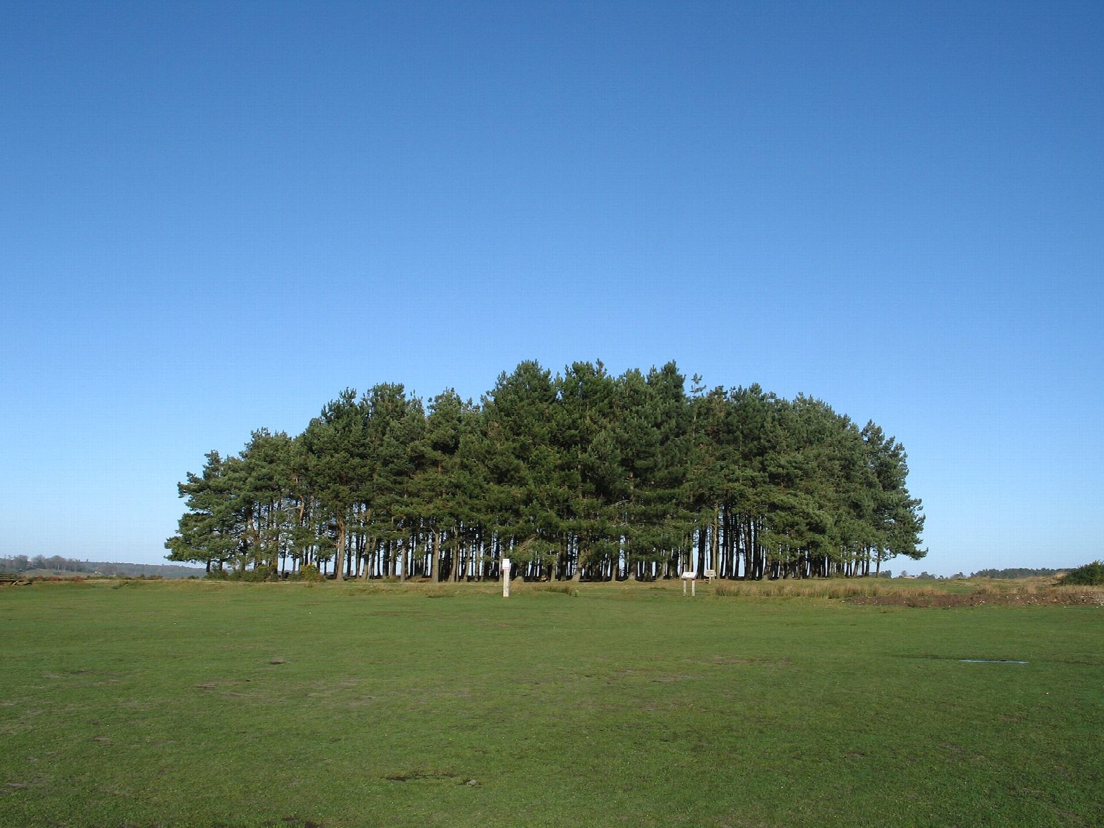
From Friends car park the walk goes up to Friends Clump, a group of pines planted in 1973, then left down the wide ride for about 250 m to a narrow path on the left signed to the windmill. Nutley Windmill stands at the edge of the heath: the last open-trestle post mill in Sussex, thought to be about 300 years old, and still in working order. A winding path through the trees leads back to the main ride, which drops steeply to the edge of the woods. The walk turns right along the woodland edge above a small stream, comes out onto the open heath of Millbrook valley below the clump, and climbs a steep ride back to the car park.
It is 2.5 km with 57 m of ascent; allow about 1 hour. The grade is Easy: short, with a steep drop and a steep pull back up.
Sheep and cattle graze the heath in summer, among them the Forest's own black Hebridean sheep, so keep dogs under control, and on the paths from 1 March to 31 August. The rides are rough and are muddy and slippery after rain. Millbrook valley once held a Saxon iron furnace.
Ashdown Forest car parks charge: £2 for an hour, £2.50 for two, paid by phone or app. There is no station near.
Route drawn by Global Adventurer along OpenStreetMap paths (© OpenStreetMap contributors, ODbL), with figures worked out from it. Check the forecast and the ground on the day: paths change.
Good to know
- From Friends Clump, pines planted by the Friends of Ashdown Forest in 1973, to Nutley Windmill
- The windmill is an open-trestle post mill, about 300 years old and the last of its kind in Sussex still working
- Down to the stream in Millbrook valley, where the Saxons smelted iron, and back up to the clump
- Heath grazed in summer by sheep and cattle
Getting there
Start: Friends car park · Pay and display. 51.04064, 0.07545
Places to stay nearby
Rooms in and around Buxted: Booking.com → Expedia →
Affiliate links: if you book, Global Adventurer earns a small commission at no cost to you.
Paths change, and the weather decides the day. The line and figures come from OpenStreetMap and our own checks; take a map, check the forecast, and turn back if it isn't right.

