Line © OpenStreetMap contributors (ODbL), checked by Global Adventurer.
The walk
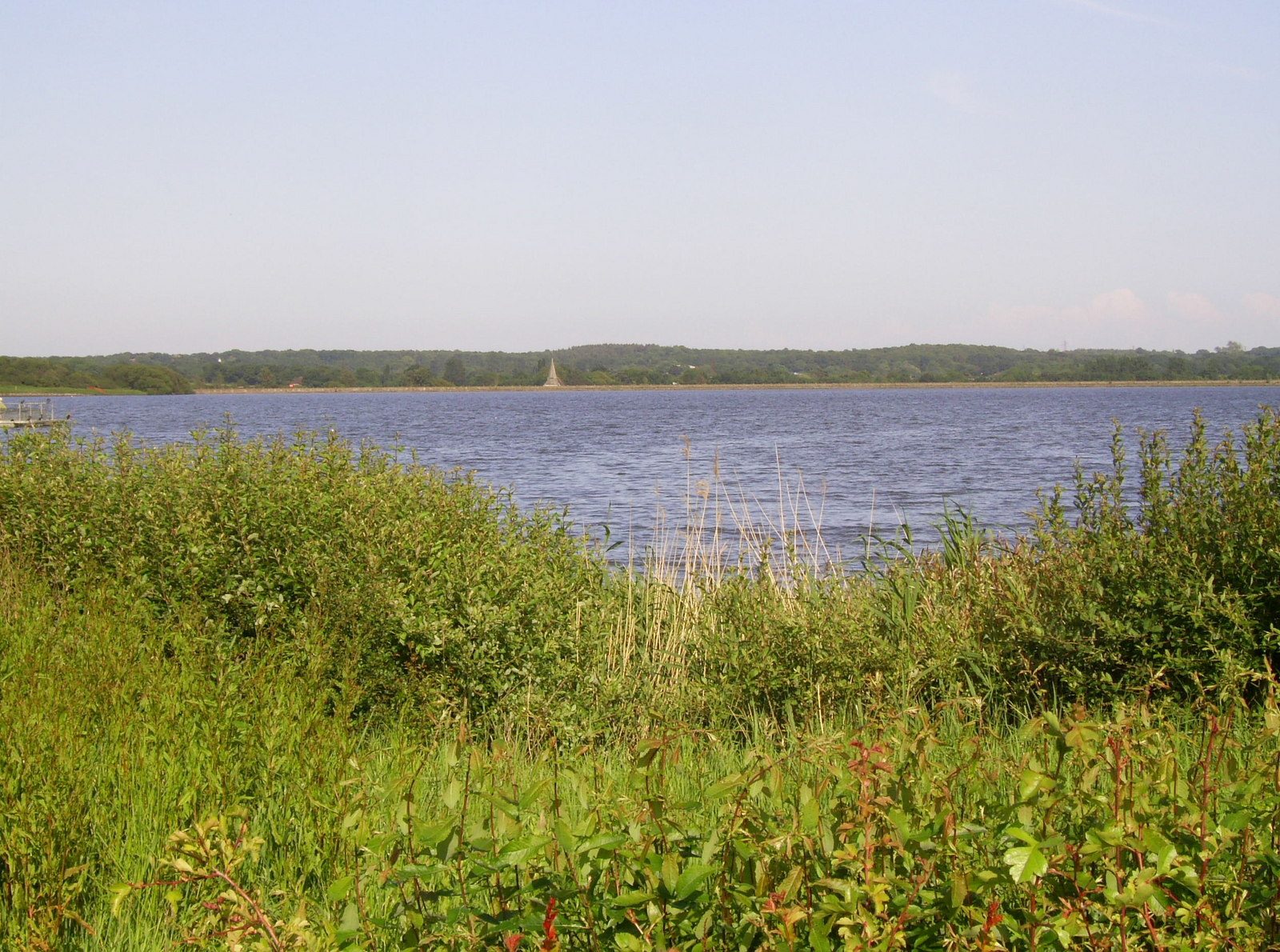
From Berwick station a footpath beside the village shop leads east across the fields to Arlington Reservoir. The walk turns right along the dam, with the Long Man of Wilmington in view on the downs to the south, and follows the Osprey Trail round the water: past the bird hide on the far shore, through meadows and coppice on the north side, and round to the car park and fishing lodge. A bridleway past Polhills Farm leads back to the outward path and the station.
It is 5.0 km with 52 m of ascent; allow about 1½ hours. The grade is Easy: level paths round the water and across the fields.
Dogs must be kept on leads at all times at the reservoir. The path behind the farm is narrow and muddy for a short way. The reservoir was made in 1971 by cutting off a meander of the Cuckmere, and a mammoth tusk was dug up in the making. Up to 10,000 wildfowl winter here and ospreys pass through in spring and autumn.
Berwick station, on the line between Lewes and Eastbourne, is at the start. Drivers can use the reservoir's own pay car park on the Berwick to Upper Dicker road instead and walk the circuit alone, which is about 3 km.
Route drawn by Global Adventurer along OpenStreetMap paths (© OpenStreetMap contributors, ODbL), with figures worked out from it. Check the forecast and the ground on the day: paths change.
Good to know
- From Berwick station across the fields and right round Arlington Reservoir on the Osprey Trail
- The reservoir was made in 1971 by cutting off a meander of the Cuckmere; a mammoth tusk was dug up in the making
- Up to 10,000 wildfowl winter here, and ospreys pass through in spring and autumn
- Views from the dam to the Long Man of Wilmington
Getting there
Start: Berwick station. 50.84045, 0.16554
By train: Berwick station is 0.0 km from the start.
Places to stay nearby
Rooms in and around Berwick: Booking.com → Expedia →
Affiliate links: if you book, Global Adventurer earns a small commission at no cost to you.
Paths change, and the weather decides the day. The line and figures come from OpenStreetMap and our own checks; take a map, check the forecast, and turn back if it isn't right.
