Line © OpenStreetMap contributors (ODbL), checked by Global Adventurer.
The walk
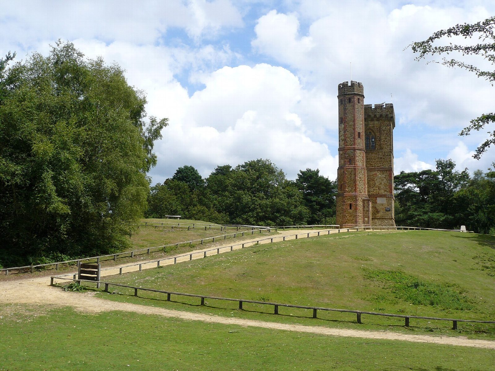
From the car park above Friday Street the walk drops to the hammer pond and follows the stream south through the woods to Abinger Bottom, then climbs to the top of Leith Hill. The tower, built in 1765, stands on the highest point in Surrey; on a clear day you can see the South Downs and the sea. The way back crosses the heath east over Coldharbour Common and goes down through the woods and along the Tillingbourne valley to the hamlet of Broadmoor, then over the ridge back to Friday Street.
It is 8.6 km with 225 m of ascent; allow about 3 hours. The grade is Easy. Most of it is on sandy woodland paths and tracks.
The paths are sandy and rooty and can be muddy in the valleys. Leith Hill is busy with walkers and mountain bikers, so watch for bikes on the tracks. The tower is run by the National Trust and has its own opening times and a small charge.
The car park at Friday Street is free and small; it fills early at weekends. The nearest station is Gomshall, about 4 km away.
Route drawn by Global Adventurer along OpenStreetMap paths (© OpenStreetMap contributors, ODbL), with figures worked out from it. Check the forecast and the ground on the day: paths change.
Good to know
- From the hammer pond at Friday Street up through Abinger Bottom
- Leith Hill Tower, built in 1765 on the highest point in Surrey
- Across the heath and down through the woods to Broadmoor
- The tower is run by the National Trust and opens on most days
Summits on the way
- Leith Hill 294 m · passed close by
Getting there
Start: Friday Street car park · Free parking. 51.20014, -0.38998
Places to stay nearby
Rooms in and around Gomshall: Booking.com → Expedia →
Affiliate links: if you book, Global Adventurer earns a small commission at no cost to you.
Paths change, and the weather decides the day. The line and figures come from OpenStreetMap and our own checks; take a map, check the forecast, and turn back if it isn't right.