Line © OpenStreetMap contributors (ODbL), checked by Global Adventurer.
The walk
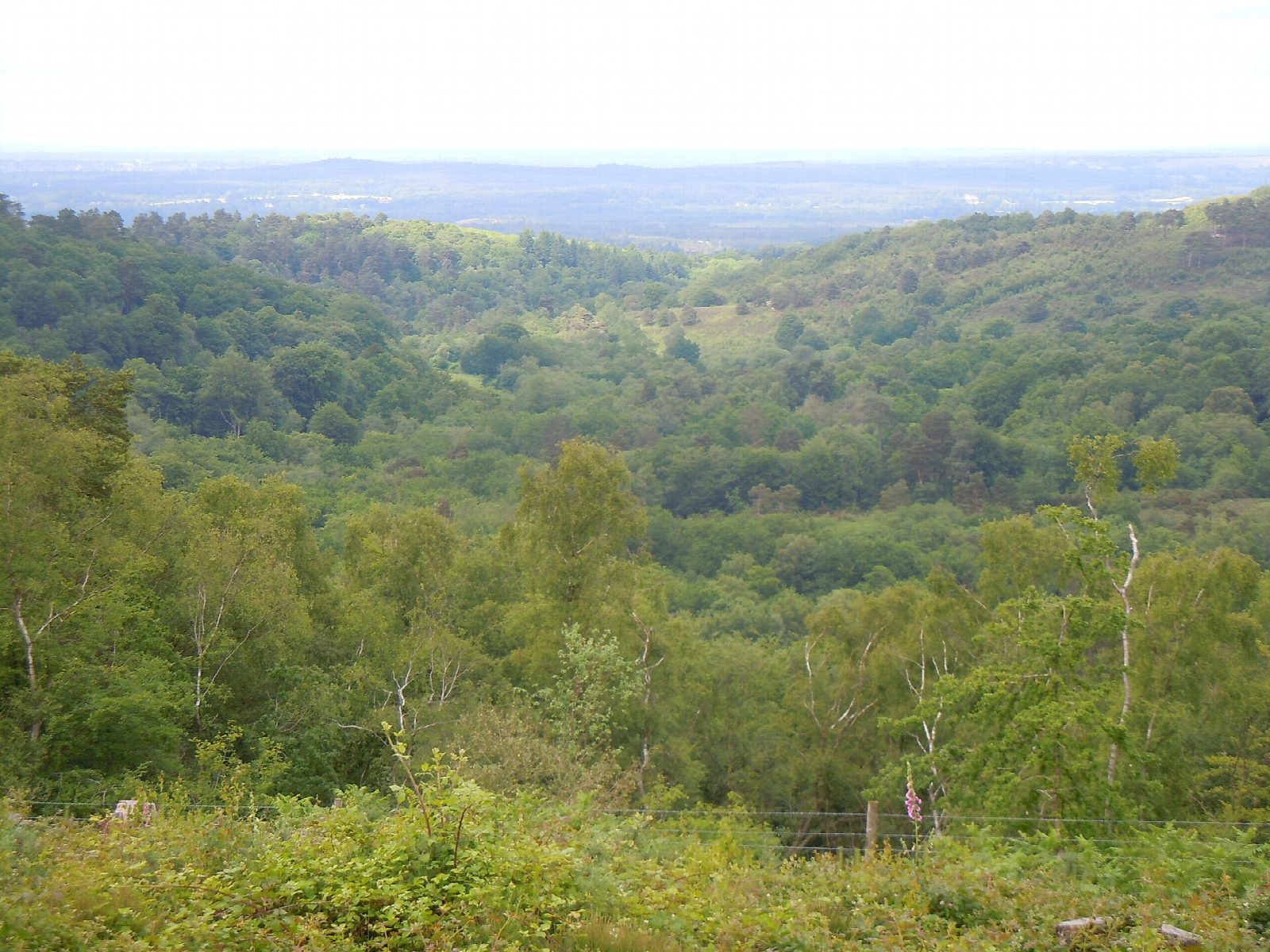
From the National Trust car park at Hindhead the walk goes down the steep western side of the Devil's Punch Bowl, a deep valley in the sandstone, and follows the stream north through the trees past the old youth hostel cottages to Highcombe Bottom. It climbs back out on the eastern side to Gibbet Hill, at 272 m the second-highest point in Surrey, where a Celtic cross marks the site of the gallows. It passes the Sailor's Stone, which recalls a murder of 1786, and returns along the old A3, now a path since the road went into a tunnel in 2011.
It is 4.3 km with 124 m of ascent; allow about 1½ hours. The grade is Easy. The paths into and out of the bowl are steep and sandy.
The sandy slopes are slippery when dry and muddy when wet. The heath is grazed by cattle and ponies at times, so keep dogs under close control. There is no shelter in the bowl.
The Hindhead car park is National Trust pay and display, free for members. The nearest station is Haslemere, about 2.9 km away.
Route drawn by Global Adventurer along OpenStreetMap paths (© OpenStreetMap contributors, ODbL), with figures worked out from it. Check the forecast and the ground on the day: paths change.
Good to know
- Down into the Devil's Punch Bowl, a deep valley in the greensand
- Through Highcombe Bottom, near the old youth hostel
- Up to Gibbet Hill and the Sailor's Stone, which recalls a murder of 1786
- Back along the old A3, now a path since the road went into a tunnel in 2011
Summits on the way
- Gibbet Hill 272 m
Getting there
Start: Hindhead National Trust car park · Pay and display. 51.11413, -0.72905
By train: Haslemere station is 2.9 km from the start.
Places to stay nearby
Rooms in and around Haslemere: Booking.com → Expedia →
Affiliate links: if you book, Global Adventurer earns a small commission at no cost to you.
Paths change, and the weather decides the day. The line and figures come from OpenStreetMap and our own checks; take a map, check the forecast, and turn back if it isn't right.