Line © OpenStreetMap contributors (ODbL), checked by Global Adventurer.
The walk
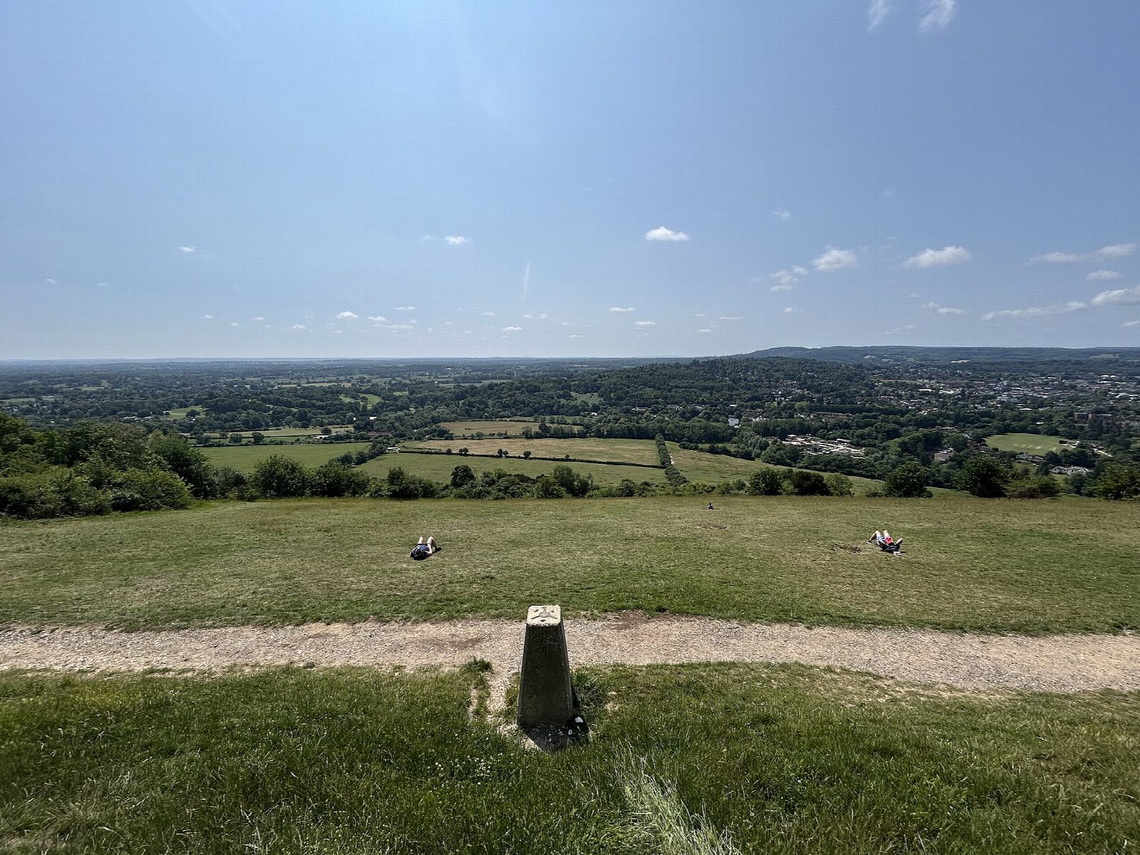
From the National Trust visitor centre the walk goes out to the Salomons Memorial viewpoint and down the steep steps of the North Downs Way to the Stepping Stones across the River Mole. It follows the river north past Burford Bridge, climbs Burford Spur and goes on past Broadwood's Folly into the woods. From there it drops into Juniper Bottom, a quiet dry valley, climbs round by Juniper Top on open chalk downland and returns through the woods to the visitor centre.
It is 6.0 km with 271 m of ascent; allow about 2 hours. The grade is Easy. There are long flights of steps and steep slopes.
The chalk is very slippery when wet. When the river is high the Stepping Stones can be under water; the footbridge just downstream is the way across then. About 600 m runs beside the busy A24. Box Hill is very busy at weekends.
The car park by the visitor centre is National Trust pay and display, free for members. Dorking station is about 1.2 km away.
Route drawn by Global Adventurer along OpenStreetMap paths (© OpenStreetMap contributors, ODbL), with figures worked out from it. Check the forecast and the ground on the day: paths change.
Good to know
- From Salomons Memorial down the North Downs Way steps to the Stepping Stones over the River Mole
- Up Burford Spur and past Broadwood's Folly
- Round Juniper Bottom and Juniper Top on chalk downland
- Box Hill takes its name from the box trees on its slopes
Summits on the way
- Box Hill 172 m · passed close by
Getting there
Start: Box Hill visitor centre car park · Pay and display. 51.24890, -0.31229
By train: Dorking station is 1.2 km from the start.
Places to stay nearby
Rooms in and around Dorking: Booking.com → Expedia →
Affiliate links: if you book, Global Adventurer earns a small commission at no cost to you.
Paths change, and the weather decides the day. The line and figures come from OpenStreetMap and our own checks; take a map, check the forecast, and turn back if it isn't right.