Line © OpenStreetMap contributors (ODbL), checked by Global Adventurer.
The walk
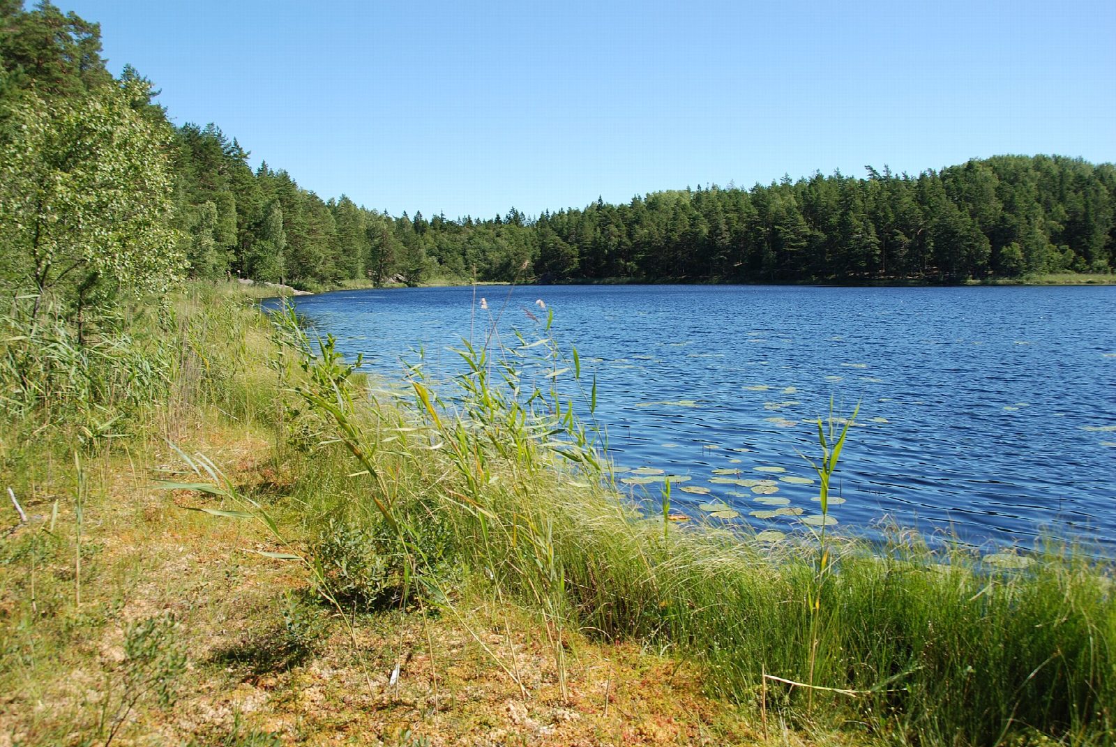
From Tyresta by, an old village at the main entrance to Tyresta National Park, follow the purple markers of Tyrestarundan east into the forest to the lake Bylsjön. The path goes on north to Årsjön, then east to Stensjön, through old pine forest. The way back crosses part of the area burnt in the forest fire of 1999, where the forest is growing again, and returns west to the village.
It is 13.3 km round with 98 m of ascent; allow about 3½ hours. The grade is Moderate: forest paths and tracks with gentle ups and downs.
Dogs must be on a lead in the national park. Fires and barbecues are allowed only at the marked places, and tents only at Stensjödal, for at most three nights. Nationalparkernas hus, the visitor centre at the entrance, is open from Tuesday to Sunday, 10:00 to 16:00, until the end of October; entry is free.
There is a pay car park at the entrance. SL bus 834 runs from Haninge station all the way to the stop Tyresta by; buses 807 and 809 from Gullmarsplan stop at Svartbäcken, about 3 km away.
Route drawn by Global Adventurer along OpenStreetMap paths (© OpenStreetMap contributors, ODbL), with figures worked out from it. Check the forecast and the ground on the day: paths change.
Good to know
- Tyresta National Park keeps one of the largest areas of old pine forest in southern Sweden, 20 km from central Stockholm
- The purple-marked Tyrestarundan, about 13 km, passes the forest lakes Bylsjön, Årsjön and Stensjön
- In the summer of 1999 a forest fire burnt about 450 hectares in the east of the park; the walk crosses the area as it regrows
- SL bus 834 runs from Haninge station to the stop Tyresta by at the start
Getting there
Start: Tyresta by car park · Pay and display. 59.17028, 18.23429
Places to stay nearby
Rooms in and around Stockholm: Booking.com → Expedia →
Affiliate links: if you book, Global Adventurer earns a small commission at no cost to you.
Paths change, and the weather decides the day. The line and figures come from OpenStreetMap and our own checks; take a map, check the forecast, and turn back if it isn't right.