Line © OpenStreetMap contributors (ODbL), checked by Global Adventurer.
The walk
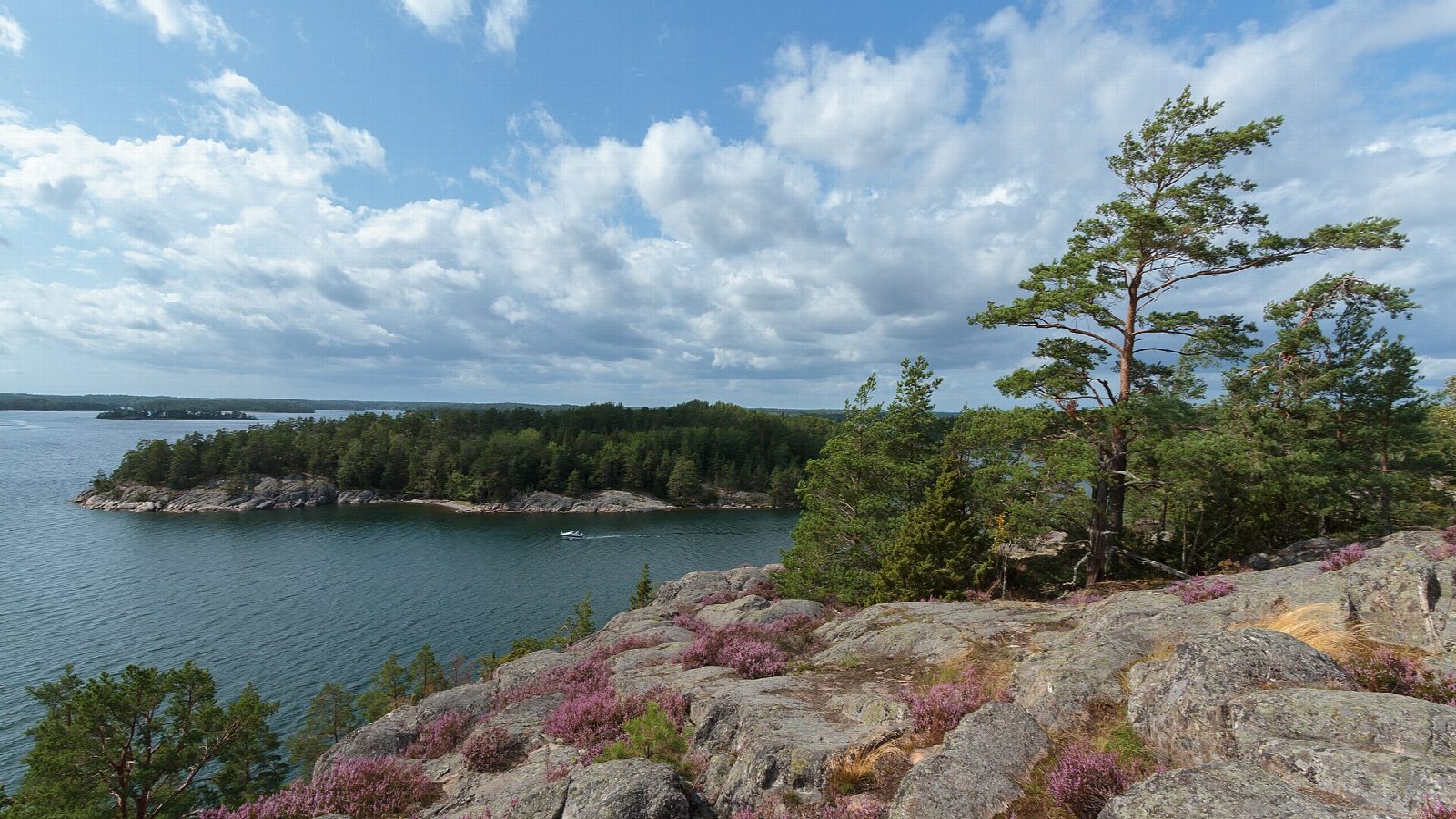
From Södra Grinda pier, where the boats call, the path heads west along the coast, then north across the island past Grinda Wärdshus to the north-west point and Norra Grinda pier. It comes back south-east along the rocky east coast to Klubbudden, the island's highest point at 35 m, and returns west past Grinda Sea Lodge to the south pier.
It is 7.7 km round with 116 m of ascent; allow about 2 hours. The grade is Easy, but the path on the north side is rocky, with a steep descent near the north pier; the south coast is easier going.
Grinda is a nature reserve owned by Skärgårdsstiftelsen. Dogs must be on a lead. Tents are allowed only at the camp site by the north pier, and fires only at the marked places. Grinda Wärdshus is open all year, but the café and shop open only in summer, and there are no toilets on the trail in winter.
Boats of Waxholmsbolaget and Cinderella call at both piers all year, from Stockholm, Vaxholm and other piers in the archipelago, with several trips a day in summer and fewer in winter: check the timetable for your way back before you set off.
Route drawn by Global Adventurer along OpenStreetMap paths (© OpenStreetMap contributors, ODbL), with figures worked out from it. Check the forecast and the ground on the day: paths change.
Good to know
- Grinda is a forested island in the Stockholm archipelago, a nature reserve owned by Skärgårdsstiftelsen
- Boats of Waxholmsbolaget and Cinderella call at both the north and south piers all year
- The path round the island is rocky and steep in places on the north side, easier along the south coast
- Dogs must be on a lead; the café and shop open only in summer, and there are no toilets on the trail in winter
Summits on the way
- Klubbudden 35 m · passed close by
Getting there
Start: Södra Grinda ferry pier. 59.40750, 18.55325
Places to stay nearby
Rooms in and around Stockholm: Booking.com → Expedia →
Affiliate links: if you book, Global Adventurer earns a small commission at no cost to you.
Paths change, and the weather decides the day. The line and figures come from OpenStreetMap and our own checks; take a map, check the forecast, and turn back if it isn't right.