Line © OpenStreetMap contributors (ODbL), checked by Global Adventurer.
The walk
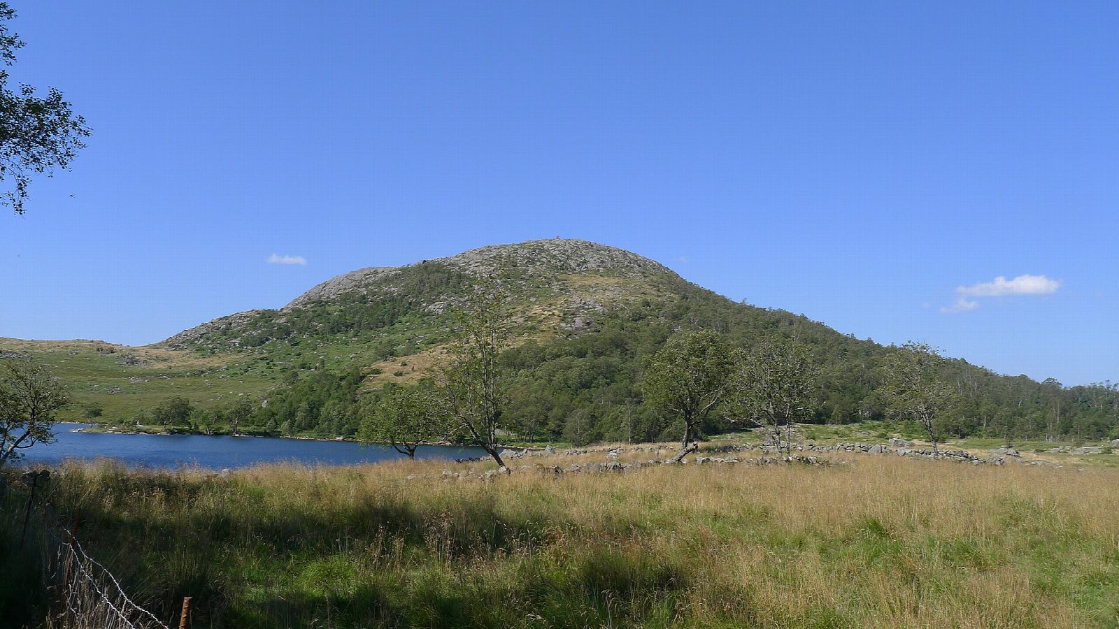
The walk starts at the car park at Gramstad, by the trekking association's lodge, Gramstadtunet. Paths lead west below Øvre Eikenuten and then north up open, rocky ground to the cairn on Dalsnuten, 323 m. The view takes in Stavanger, the Gandsfjorden and, on a clear day, the islands of Ryfylke. The way back drops east past the small lake of Revholstjørn and follows a broad path between old stone walls, once used to drive livestock, beside Gramstadtjørna to the start.
It is 4.1 km round with 202 m of ascent; allow about 1½ hours. The grade is Easy: good paths, with one steep, rocky pull to the top.
The last climb to the summit is steep and slippery in the wet. DNT Stavanger og omegn gives the walk as open all year. Region Stavanger says the broad path as far as Revholstjørn suits prams and wheelchairs, so families can make a shorter outing of it and leave the summit for another day.
Parking at Gramstad is free. The car park is on Fjogstadveien, about ten minutes by car from the centre of Sandnes and a little further from Stavanger.
Route drawn by Global Adventurer along OpenStreetMap paths (© OpenStreetMap contributors, ODbL), with figures worked out from it. Check the forecast and the ground on the day: paths change.
Good to know
- Dalsnuten, 323 m, looks over Stavanger, Gandsfjorden and the islands of Ryfylke
- Up the west side and back down the broad path past Revholstjørn and Gramstadtjørna, between old stone walls built for driving livestock
- The last climb to the top is steep and slippery when wet
- Stavanger Turistforening's Gramstadtunet is at the start
Summits on the way
- Dalsnuten 323 m
Getting there
Start: Gramstad · Free parking. 58.88366, 5.79935
Places to stay nearby
Rooms in and around Stavanger and Lysefjord: Booking.com → Expedia →
Affiliate links: if you book, Global Adventurer earns a small commission at no cost to you.
Paths change, and the weather decides the day. The line and figures come from OpenStreetMap and our own checks; take a map, check the forecast, and turn back if it isn't right.
