Line © OpenStreetMap contributors (ODbL), checked by Global Adventurer.
The walk
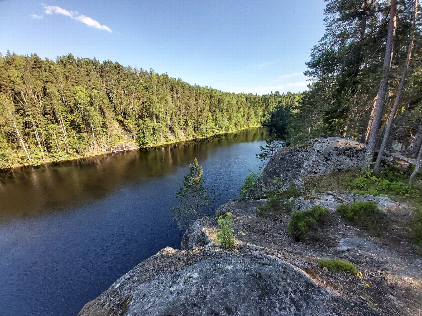
From the large Haukkalampi car park, follow the gravel road west to Haukanpesä, the hiking centre by the pond. Back in the forest, pass the Haukanholma junction, climb to the dam at Mustalampi and turn right up a steep rise to the rocks of the western Mustalampi campsite. Drop towards the shore of Haukkalampi and turn right onto a forest path that rises and falls through old forest, cliffs and small valleys round the west and north sides. At the north-east end you come out on rocks above the Myllypuro valley, then go down, steeply at the end, to the road by the car park. The loop goes clockwise, signed as Haukankierros.
It is 4.3 km round with 69 m of ascent; allow about an hour. The grade is Easy: a short loop, though with steep, rocky ups and downs and some narrow paths.
The trail is not kept clear in winter, and the rocky climbs are slippery in wet or icy weather. Light fires only at the marked sites, and none at all while a wildfire warning is in force. Haukanpesä has a summer café.
The large car park is free. By public transport, take bus 245 or 245A from Espoo Centre, which has a railway station, to Punjonsuo, then walk the connecting path, marked with orange and black diamonds, about 2 km to Haukkalampi.
Route drawn by Global Adventurer along OpenStreetMap paths (© OpenStreetMap contributors, ODbL), with figures worked out from it. Check the forecast and the ground on the day: paths change.
Good to know
- The ice age left the valleys, ravines and bare rock knolls that make this short loop surprisingly hilly
- The view at the end looks along the Myllypuro valley, at its best in autumn colour
- Haukanpesä by the pond is the hiking centre, with a summer café and canoe hire
- Nuuksio National Park, founded in 1994, lies in forest and lakes close to Helsinki
Getting there
Start: Haukkalampi large car park. 60.30960, 24.52090
Places to stay nearby
Rooms in and around Southern Finland: Booking.com → Expedia →
Affiliate links: if you book, Global Adventurer earns a small commission at no cost to you.
Paths change, and the weather decides the day. The line and figures come from OpenStreetMap and our own checks; take a map, check the forecast, and turn back if it isn't right.