Line © OpenStreetMap contributors (ODbL), checked by Global Adventurer.
The hike
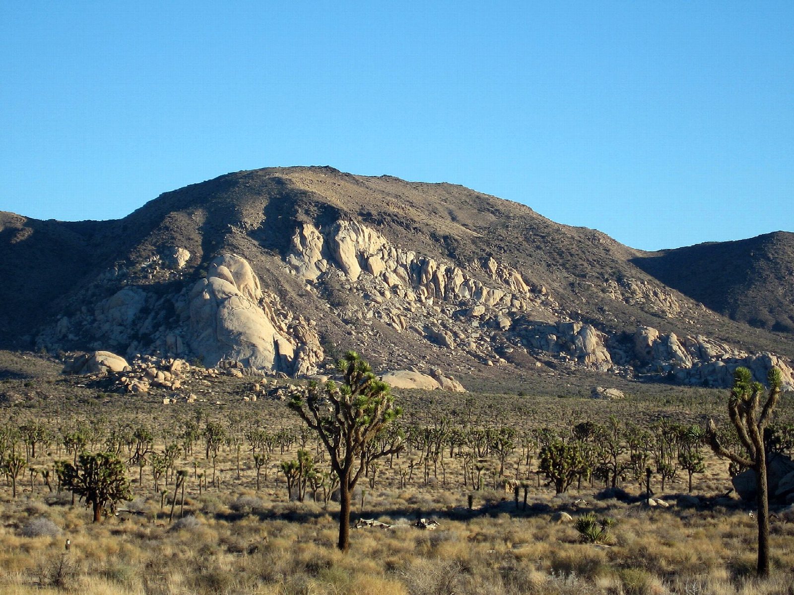
The walk starts at the Ryan Mountain Trailhead on Park Boulevard, between Ryan Campground and Sheep Pass, in the middle of Joshua Tree National Park. The trail begins climbing at once, on steep rock steps, round the side of the mountain and up to a ridge. It follows the ridge to the bare summit, from where the park's valleys and boulder piles lie spread out all around. Return the same way.
It is 2.9 miles (4.7 km) round trip with 990 feet (302 m) of climbing; allow about 2 hours. The grade is Moderate: it is short, but the park rates it strenuous, for a climb of 1,000 feet in a mile and a half.
The park says not to attempt this trail in summer or in hot weather: there is very little shade and no water, so carry all you need. On cold, windy days the summit is bitter, and warm layers are needed. The rock steps are high and uneven. Pets are not allowed on the trail.
The trailhead has parking and vault toilets; arrive early. The park entrance fee is $30 a vehicle, for seven days; the entrance stations take cards only. The trailhead at Sheep Pass is for campers there, not for day use.
Route drawn by Global Adventurer along OpenStreetMap paths (© OpenStreetMap contributors, ODbL), with figures worked out from it. Check the forecast and the ground on the day: paths change.
Good to know
- A short, steep climb to one of the best all-round views in Joshua Tree
- No shade and no water: don't attempt it in summer heat
- Banded Pinto gneiss on the way up is among the oldest rock in the park
Summits on the way
- Ryan Mountain 5,456 ft (1,663 m)
Getting there
Start: Ryan Mountain Trailhead · Free parking. 34.00278, -116.13626
Places to stay nearby
Rooms in and around Southern California: Booking.com → Expedia →
Affiliate links: if you book, Global Adventurer earns a small commission at no cost to you.
Paths change, and the weather decides the day. The line and figures come from OpenStreetMap and our own checks; take a map, check the forecast, and turn back if it isn't right.