Line © OpenStreetMap contributors (ODbL), checked by Global Adventurer.
The hike
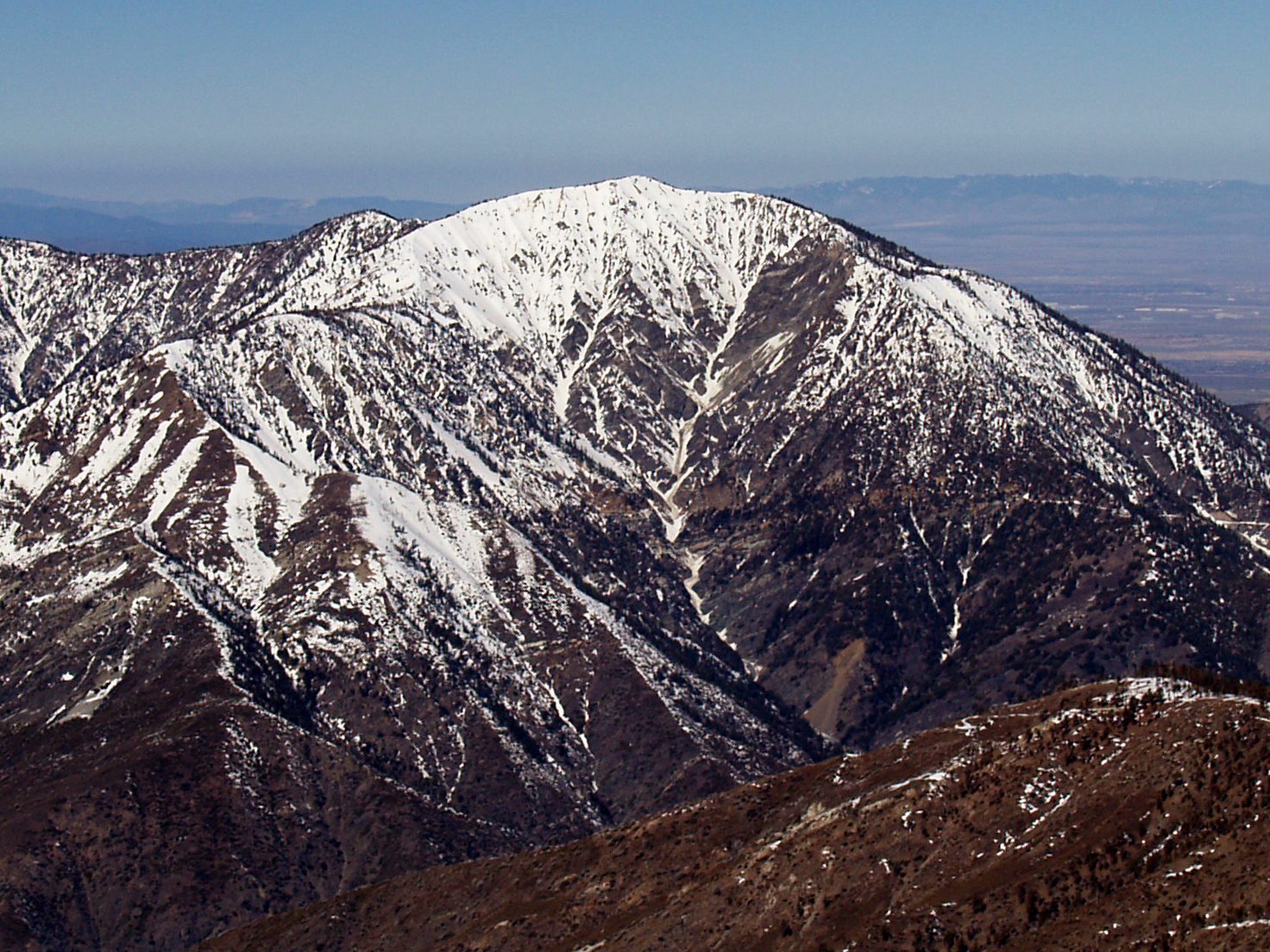
The walk starts at Vincent Gap, on the Angeles Crest Highway (Highway 2) west of Wrightwood and Big Pines. The Pacific Crest Trail climbs the north face of the mountain in about 40 switchbacks through pine and fir forest, passing the short side path to Lamel Spring at 1.7 miles. Near the top the forest thins to old, twisted limber pines; one of them, the Wally Waldron Tree, is thought to be 1,500 years old. A spur leaves the Pacific Crest Trail for the bare summit, at about 9,400 feet, where a monument honors Lord Baden-Powell. Return the same way.
It is 7.8 miles (12.6 km) round trip with 2,690 feet (819 m) of climbing; allow about 6 hours. The grade is Hard: a well-graded trail, but it climbs without a break to over 9,000 feet.
Carry all the water you need. The north-facing switchbacks hold snow and ice through winter and well into spring, when the trail needs winter equipment. Parking at Vincent Gap costs $5 a day, paid on the spot.
Highway 2 is closed for repairs between Islip Saddle and Vincent Gap, and that stretch is shut most winters. Drive in from the east, through Wrightwood and Big Pines.
Route drawn by Global Adventurer along OpenStreetMap paths (© OpenStreetMap contributors, ODbL), with figures worked out from it. Check the forecast and the ground on the day: paths change.
Good to know
- About 40 switchbacks up to a monument to the founder of the Scouts
- Ancient limber pines near the top include the Wally Waldron Tree
- A parking pass is needed at Vincent Gap; there is a self-pay station
Summits on the way
- Mount Baden-Powell 9,383 ft (2,860 m)
Getting there
Start: Vincent Gap. 34.37318, -117.75187
Places to stay nearby
Rooms in and around Southern California: Booking.com → Expedia →
Affiliate links: if you book, Global Adventurer earns a small commission at no cost to you.
Paths change, and the weather decides the day. The line and figures come from OpenStreetMap and our own checks; take a map, check the forecast, and turn back if it isn't right.