Line © OpenStreetMap contributors (ODbL), checked by Global Adventurer.
The hike
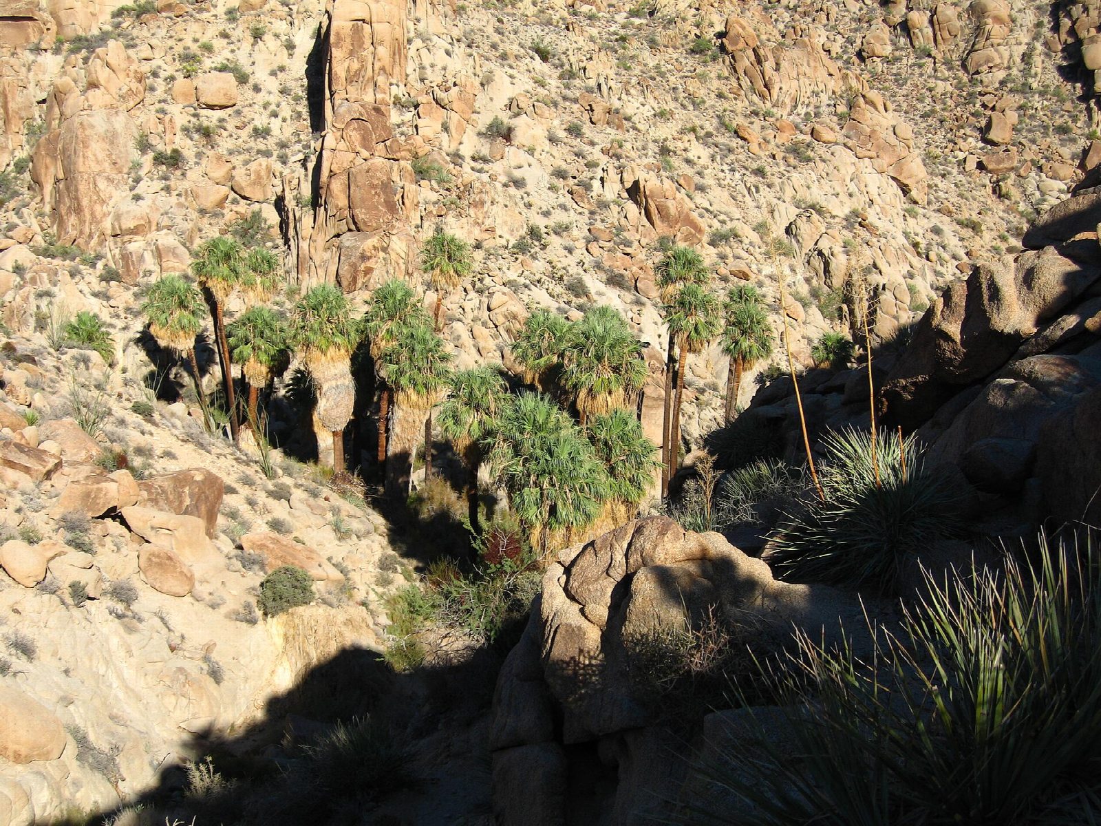
The walk starts at the Cottonwood Spring parking area, at the end of the road beyond the Cottonwood Visitor Center in the south of Joshua Tree National Park. The trail passes the palms of Cottonwood Spring and, where the Mastodon Peak loop turns off, keeps on to the southeast. For three miles it rolls across sandy washes and low, stony ridges of open desert. It ends at an overlook above a deep canyon filled with California fan palms. A rough path with rocky steps goes down into the canyon to the oasis itself. Return the same way.
It is 7.1 miles (11.5 km) round trip with 790 feet (240 m) of climbing; allow about 3½ hours. The grade is Moderate: an easy trail, though long for the desert, with a stiff climb back out if you go down to the palms.
The park does not recommend this walk in summer or in hot weather. There is very little shade and no water on the way: carry plenty, with food and sun protection. Pets are not allowed on the trail.
The park entrance fee is $30 a vehicle, for seven days; the entrance stations take cards only.
Route drawn by Global Adventurer along OpenStreetMap paths (© OpenStreetMap contributors, ODbL), with figures worked out from it. Check the forecast and the ground on the day: paths change.
Good to know
- Across desert washes to the largest group of California fan palms in Joshua Tree
- The oasis lies down in a canyon: the climb out on the way back is the hardest part
- Carry all your water and avoid the heat of summer
Getting there
Start: Cottonwood Spring Trailhead. 33.73711, -115.81082
Places to stay nearby
Rooms in and around Southern California: Booking.com → Expedia →
Affiliate links: if you book, Global Adventurer earns a small commission at no cost to you.
Paths change, and the weather decides the day. The line and figures come from OpenStreetMap and our own checks; take a map, check the forecast, and turn back if it isn't right.