Line © OpenStreetMap contributors (ODbL), checked by Global Adventurer.
The walk
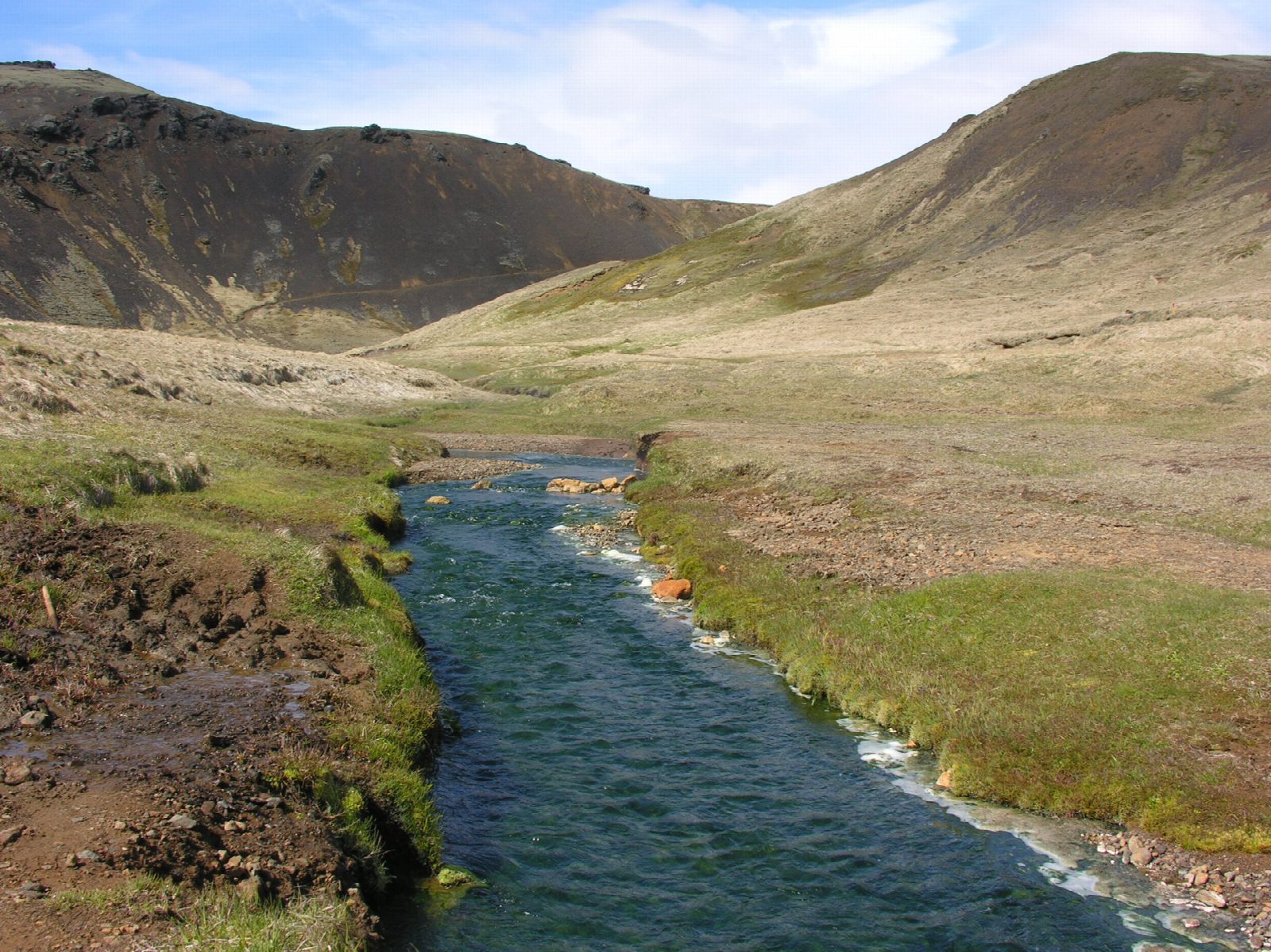
From the car park at Árhólmar, above Hveragerði, cross the footbridge over the Varmá and climb north up the east side of Reykjadalur (Steam Valley). The path passes steaming vents above the Djúpagilsfoss waterfall, then crosses the stream on footbridges through the hot-spring area, past mud pots. Carry on north to the boardwalks on the Reykjadalsá, where hot springs warm the river and people bathe. Return the same way.
It is 7.8 km there and back with 202 m of ascent; allow about 2½ hours, plus time to bathe. The grade is Easy: a clear path with a steady climb, muddy in places, and boardwalks at the top.
Boiling springs and mud pots lie right beside the path: keep to the path and the boardwalks. Bathe only at the marked place and test the water first; it is warmer upstream and cooler downstream. The town has closed the valley for weeks in muddy spring thaws, as in April and May 2020: check before going between March and May. In winter the path is icy.
The car park is paid parking run by Parka. Cameras read number plates; pay online within 24 hours or at the machine by the café, or pay 1,960 ISK extra. Strætó route 51, between Reykjavík and Selfoss, stops in Hveragerði, about 3 km on foot below the car park.
Route drawn by Global Adventurer along OpenStreetMap paths (© OpenStreetMap contributors, ODbL), with figures worked out from it. Check the forecast and the ground on the day: paths change.
Good to know
- Reykjadalur, the Steam Valley, lies in the geothermal field of the Hengill volcanic area
- Hot springs warm the river; people bathe at boardwalks built to protect the banks
- Boiling springs and mud pots lie right beside the path
- Hveragerði below is a greenhouse town heated by the same underground heat
Getting there
Start: Reykjadalur car park, Árhólmar. 64.02112, -21.21109
Places to stay nearby
Rooms in and around Reykjadalur car park: Booking.com → Expedia →
Affiliate links: if you book, Global Adventurer earns a small commission at no cost to you.
Paths change, and the weather decides the day. The line and figures come from OpenStreetMap and our own checks; take a map, check the forecast, and turn back if it isn't right.