Line © OpenStreetMap contributors (ODbL), checked by Global Adventurer.
The walk
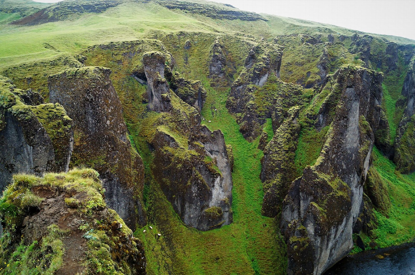
From the lower car park on road 206, cross the small footbridge and follow the marked path north up the east rim of Fjaðrárgljúfur. The canyon, about 1.5 km long and up to about 100 m deep, was cut by the river Fjaðrá, and side viewpoints look down into it. At the top, viewing platforms face Mögárfoss, a waterfall pouring into the gorge. Return the same way.
It is 2.3 km there and back with 66 m of ascent; allow about an hour. The grade is Easy: a short, marked path with a gentle climb and rails at the viewpoints.
The drops beside the path are sheer: stay on the path and behind the rails, which is the rule here, and walking on the canyon floor is not allowed. The plants along the rim are fragile, and the path has been closed for weeks in wet thaws, most recently in April 2023, so check before going between February and May. It is slippery when wet or icy.
The landowner charges for parking through Parka, 1,000 ISK a day for a car in 2026: pay online within 24 hours or at the machine by the toilets. There is no bus to the canyon: Strætó route 52 stops at Kirkjubæjarklaustur, about 8 km away by road.
Route drawn by Global Adventurer along OpenStreetMap paths (© OpenStreetMap contributors, ODbL), with figures worked out from it. Check the forecast and the ground on the day: paths change.
Good to know
- The canyon is about 1.5 km long and up to about 100 m deep, cut by the river Fjaðrá
- It was made a protected natural monument in 2024
- Walking on the canyon floor is not allowed; the rim path has rails at the viewpoints
- Kirkjubæjarklaustur, the nearest village, is about 8 km away by road
Getting there
Start: Fjaðrárgljúfur car park. 63.77038, -18.17192
Places to stay nearby
Rooms in and around South Iceland: Booking.com → Expedia →
Affiliate links: if you book, Global Adventurer earns a small commission at no cost to you.
Paths change, and the weather decides the day. The line and figures come from OpenStreetMap and our own checks; take a map, check the forecast, and turn back if it isn't right.